
Surheide, protected landscape in Lower Saxony, Germany
Location: Verden
Inception: 1937
GPS coordinates: 53.12250,9.08273
Latest update: June 10, 2025 13:09
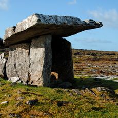
Poulnabrone dolmen
1215.1 km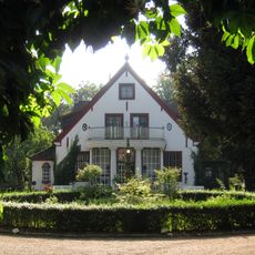
Gut Hodenberg
10 km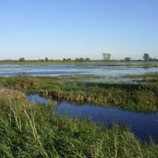
Borgfelder Wümmewiesen
10.1 km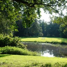
Höpkensruh
10.1 km
Schnitger organ (Grasberg Church)
8.9 km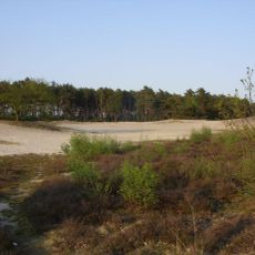
Voßberge
8.7 km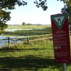
Fischerhuder Wümmeniederung
6 km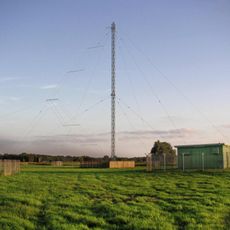
Mediumwave transmitter Bremen
9.9 km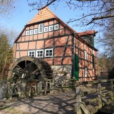
Wassermühle Stuckenborstel
7.4 km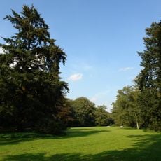
Muhles Park
10.1 km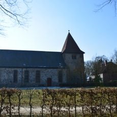
St. Georg
9.8 km
Burg Clüversborstel
10.1 km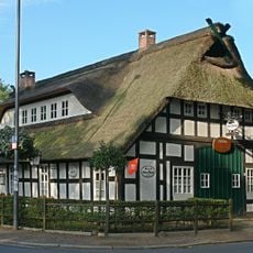
Gaststätte Meyer am Boom
10.2 km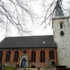
St.-Petri-Kirche
8.1 km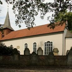
Liebfrauenkirche
1.8 km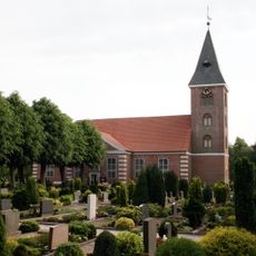
Grasberg Lutheran church
8.9 km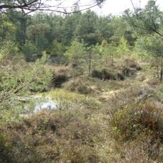
Ottersberger Moor
6.1 km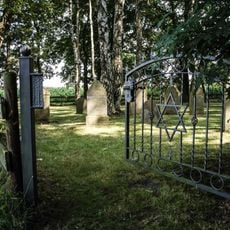
Jewish cemetery, Otterstedt
4.5 km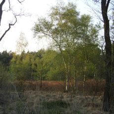
Fährhof
9.2 km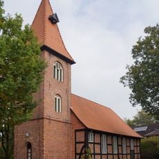
Christophorus-Kirche
4.3 km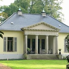
Haus Hoogenkamp
10.2 km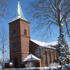
St. Petrikirche
8.5 km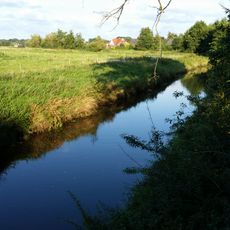
Untere Wörpe
9.4 km
Muhles Park, Höpkensruh
10.1 km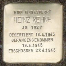
Stolperstein dedicated to Heinz Kehne
5.8 km
Gutshaus Hodenberg
10 km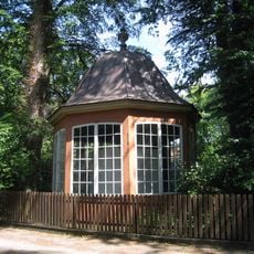
Gartenpavillon Oberneulander Landstraße 27
10.2 km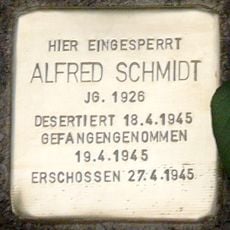
Stolperstein dedicated to Alfred Schmidt
5.8 kmReviews
Visited this place? Tap the stars to rate it and share your experience / photos with the community! Try now! You can cancel it anytime.
Discover hidden gems everywhere you go!
From secret cafés to breathtaking viewpoints, skip the crowded tourist spots and find places that match your style. Our app makes it easy with voice search, smart filtering, route optimization, and insider tips from travelers worldwide. Download now for the complete mobile experience.

A unique approach to discovering new places❞
— Le Figaro
All the places worth exploring❞
— France Info
A tailor-made excursion in just a few clicks❞
— 20 Minutes