
Gillbachtal, protected landscape in Grevenbroich and Rommerskirchen, Germany
Location: Rommerskirchen
Location: Grevenbroich
Inception: 1991
GPS coordinates: 51.10291,6.65907
Latest update: March 31, 2025 01:58
Museum Island Hombroich
5 km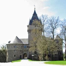
Schloss Hülchrath
2.3 km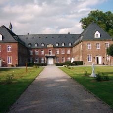
Kloster Langwaden
1.9 km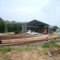
Feldbahnmuseum Oekoven
4.6 km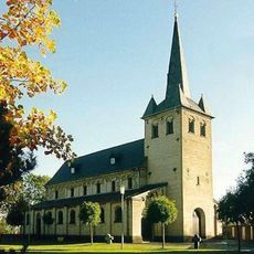
St. Brictius
4.3 km
Burg Helpenstein
4.8 km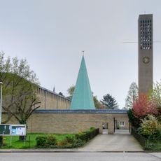
St. Josef
4.5 km
Burg Wevelinghoven
2.7 km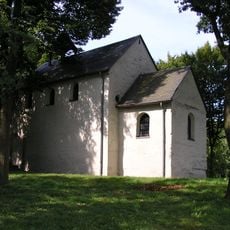
Lambertuskapelle
1.4 km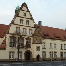
Amtsgericht Grevenbroich
4.6 km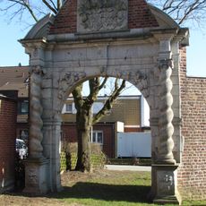
Burg Noithausen
5 km
Jupp-Breuer-Stadion
3.6 km
Schlossbad
5.2 km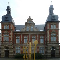
Ständehaus (Grevenbroich)
4.9 km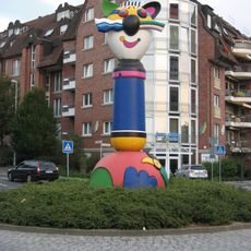
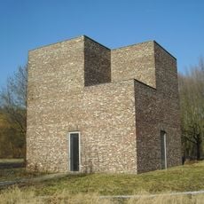
Turmkater (Grevenbroich)
5 km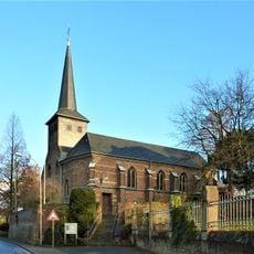
St. Stephanus
2.5 km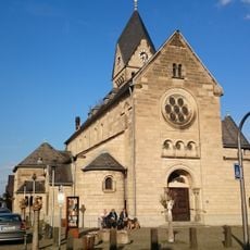
St. Sebastian
2.4 km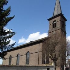
St Martin's Church
2.5 km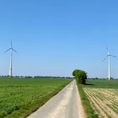
Windenergieanlagen Neuss-Hoisten
4.5 km
Erckens-Kapelle
5.3 km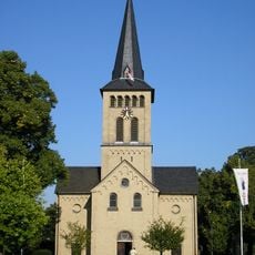
St. Odilia
4.2 km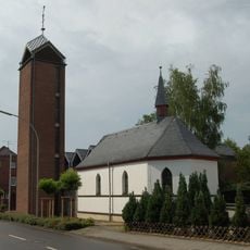
St. Nikolaus (Barrenstein)
3.2 km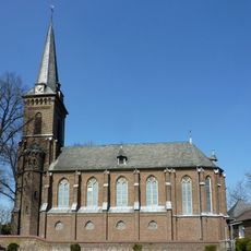
St. Antonius (Evinghoven)
4.1 km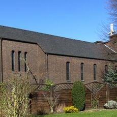
St. Mariä Geburt
5.2 km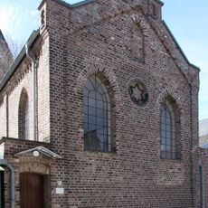
Synagoge Hülchrath
2.5 km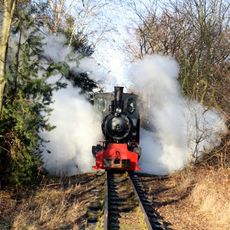
Feldbahnmuseum Oekoven
4.6 km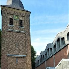
St. Matthäus
4.6 km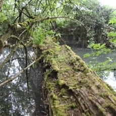
An der schwarzen Brücke
3 kmReviews
Visited this place? Tap the stars to rate it and share your experience / photos with the community! Try now! You can cancel it anytime.
Discover hidden gems everywhere you go!
From secret cafés to breathtaking viewpoints, skip the crowded tourist spots and find places that match your style. Our app makes it easy with voice search, smart filtering, route optimization, and insider tips from travelers worldwide. Download now for the complete mobile experience.

A unique approach to discovering new places❞
— Le Figaro
All the places worth exploring❞
— France Info
A tailor-made excursion in just a few clicks❞
— 20 Minutes