
Röttgenhalde und landwirtschaftliche Flächen bis an die A4
Röttgenhalde und landwirtschaftliche Flächen bis an die A4, protected landscape in Germany
Location: Kerpen
Inception: 1990
GPS coordinates: 50.91587,6.73499
Latest update: June 25, 2025 20:43
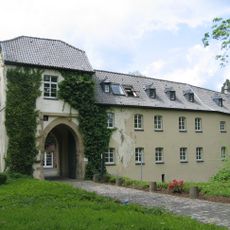
Burg Hemmersbach
2.2 km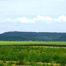
Glessener Höhe
4.2 km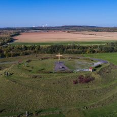
Marienfeld
3.4 km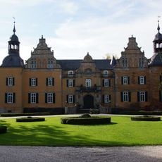
Schloss Frens
3.2 km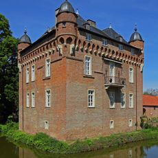
Schloss Loersfeld
4 km
Königsdorfer Forst
2.5 km
Bottenbroich Abbey
3.4 km
Kloster Königsdorf
2.6 km
Regina Coeli Church (Sindorf)
4.4 km
St. Ulrich
4.4 km
Grube Sibylla
4.3 km
Ville-Stollen
1.8 km
St. Cyriakus
2.2 km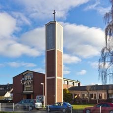
Petrikirche
4.1 km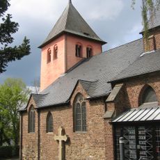
St. Clemens
1.5 km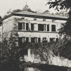
Burg Boisdorf
2.1 km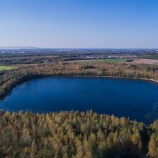
Boisdorfer See und Fürstenberggraben
2.7 km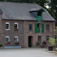
Horremer Mühle
2.3 km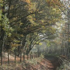
Parrig
3.1 km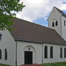
Christus-Kirche
4.4 km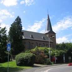
Alt-St. Ulrich
4.5 km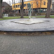
Glasmacherbrunnen
4.3 km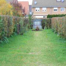
Jüdischer Friedhof
3.9 km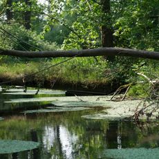
Wald und Wiesenflächen zwischen Schloss Frens und Pliesmühle
3.3 km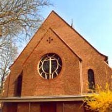
Pfarrkirche Heilig Kreuz
3.3 km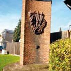
Mahnmal in Quadrath-Ichendorf
3.7 km
Schloß Lörsfeld
4.1 km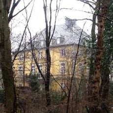
Mödrath castle
3.6 kmReviews
Visited this place? Tap the stars to rate it and share your experience / photos with the community! Try now! You can cancel it anytime.
Discover hidden gems everywhere you go!
From secret cafés to breathtaking viewpoints, skip the crowded tourist spots and find places that match your style. Our app makes it easy with voice search, smart filtering, route optimization, and insider tips from travelers worldwide. Download now for the complete mobile experience.

A unique approach to discovering new places❞
— Le Figaro
All the places worth exploring❞
— France Info
A tailor-made excursion in just a few clicks❞
— 20 Minutes