
Keylaer, protected area in Germany
Location: Kevelaer
Inception: 2009
GPS coordinates: 51.59986,6.22862
Latest update: June 11, 2025 07:52
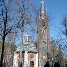
Marienbasilika
2 km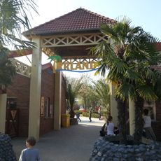
Irrland
5.2 km
De Maasduinen National Park
9.7 km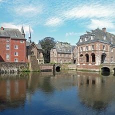
Schloss Wissen
1.7 km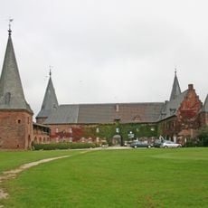
Schloss Haag
9.6 km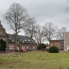
Hertefeld Castle
3.7 km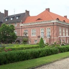
Schloss Kalbeck
8.5 km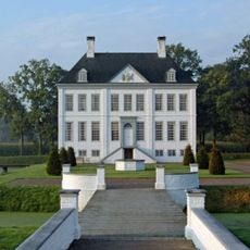
Haus Kolk
8.6 km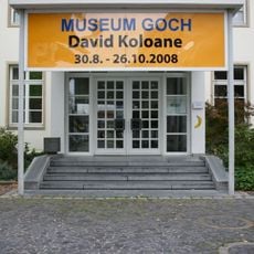
Museum Goch
9.6 km
Haus zu den fünf Ringen
9.8 km
Johanneskapelle
1.9 km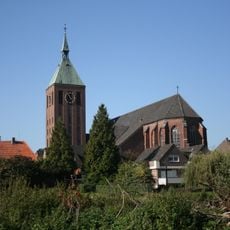
St. Cyriakus
3.7 km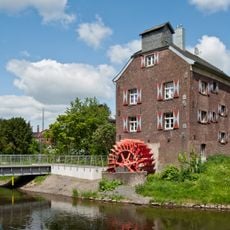
Susmühle
9.9 km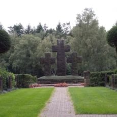
Kriegsgräberstätte Weeze
4.4 km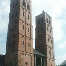
St. Laurentius
8.2 km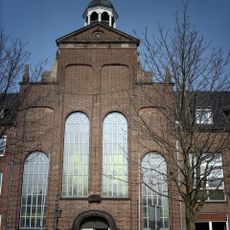
Evangelische Kirche Goch
9.9 km
B.100 Goch
6 km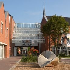
Niederrheinisches Museum für Volkskunde und Kulturgeschichte
2.2 km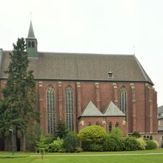
Stiftskirche
9.6 km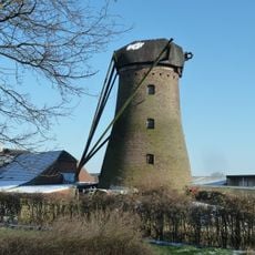
Alte Mühle Twisteden
4.9 km
Honselaerer Mühle
7.3 km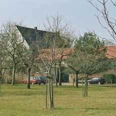
Huis Roffaert
8.4 km
Fleuthbenden
4.4 km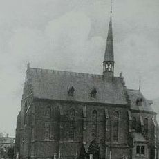
Sint-Catharinakerk
9.7 km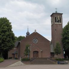
Sint-Catharinakerk
9.7 km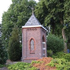
Sint-Antoniuskapel
9.7 km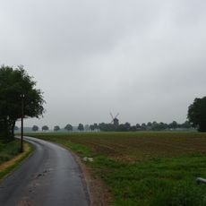
Kevelaerer Donkenland
7.5 km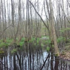
Landschaftsschutzgebiet Die Gebiete Kalbeck, Vorselaer, Grafendonk, Grotendonk, Berberheide, Schravelner Heide, Knappheide, Baalerbruch, Gocher Veen, Weezer Veen, Wember Veen, Hees, Laarbruch
4.1 kmReviews
Visited this place? Tap the stars to rate it and share your experience / photos with the community! Try now! You can cancel it anytime.
Discover hidden gems everywhere you go!
From secret cafés to breathtaking viewpoints, skip the crowded tourist spots and find places that match your style. Our app makes it easy with voice search, smart filtering, route optimization, and insider tips from travelers worldwide. Download now for the complete mobile experience.

A unique approach to discovering new places❞
— Le Figaro
All the places worth exploring❞
— France Info
A tailor-made excursion in just a few clicks❞
— 20 Minutes