
Lohfeld, Landschaftsschutzgebiet in Nordrhein-Westfalen, eines von zwei gleichnamigen Gebieten
Location: Oberhausen
Inception: 1996
GPS coordinates: 51.53544,6.79535
Latest update: June 15, 2025 12:36

DITIB-Merkez-Moschee
4.1 km
Niederrhein-Therme
1.9 km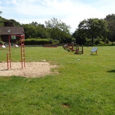
Revierpark Mattlerbusch
2 km
Freiherr-vom-Stein-Gymnasium
3.7 km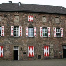
Kastell Holten
1.2 km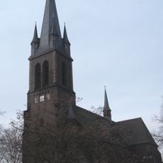
Herz-Jesu-Kirche Sterkrade
3.9 km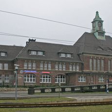
Bahnhof Duisburg-Hamborn
4 km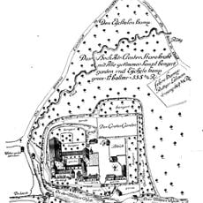
Abbaye de Sterkrade
4.3 km
Youthchurch Tabgha
4.3 km
Haus Watereck
4.2 km
Schulte-Marxloh-Haus
4.1 km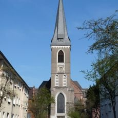
St Peter's Church
4.3 km
Mühlenmuseum Hiesfeld
3.7 km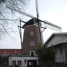
Baumeister Mühle
3.8 km
Kreuzeskirche
4.2 km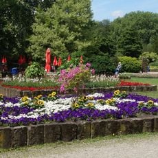
Jubiläumshain
3.5 km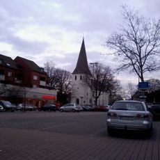
St. Cyriacus
3.7 km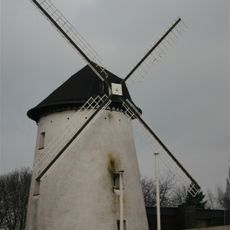
Brahmsche Mühle
1.7 km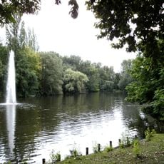
Volkspark Sterkrade
3.3 km
Pumpwerk Schmidthorst
4.1 km
St. Norbert
4.2 km
Christuskirche
3 km
St. Pius (Alsfeld)
2.7 km
Synagoge Holten
1.2 km
Baumeister Mühle
3.8 km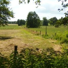
Im Fort
4.1 km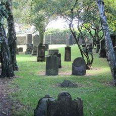
Jüdischer Friedhof
1.6 km
Aldekampshof
3.2 kmReviews
Visited this place? Tap the stars to rate it and share your experience / photos with the community! Try now! You can cancel it anytime.
Discover hidden gems everywhere you go!
From secret cafés to breathtaking viewpoints, skip the crowded tourist spots and find places that match your style. Our app makes it easy with voice search, smart filtering, route optimization, and insider tips from travelers worldwide. Download now for the complete mobile experience.

A unique approach to discovering new places❞
— Le Figaro
All the places worth exploring❞
— France Info
A tailor-made excursion in just a few clicks❞
— 20 Minutes