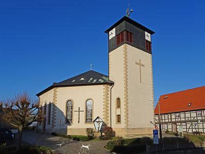
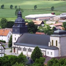
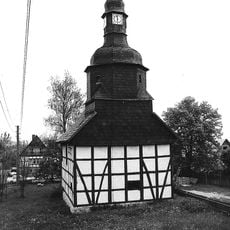
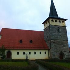
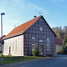
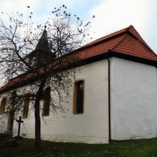
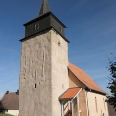
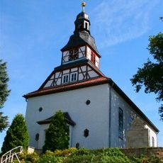
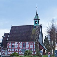
St. Michael, Heritage church in Weißenborn-Lüderode, Germany.
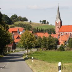
St. Michael is a church located in Weißenborn-Lüderode, a religious building with architectural features typical of its era and local construction traditions. The structure was designed to serve as both a spiritual center and a communal meeting place for the surrounding area.
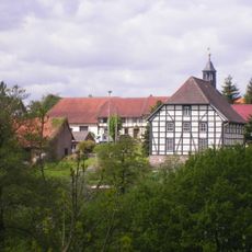
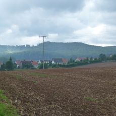
The church was established as a local place of worship and developed over centuries as an important site in the religious life of the community. It endured through different periods of German history while remaining a stable anchor for the people of the area.
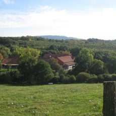
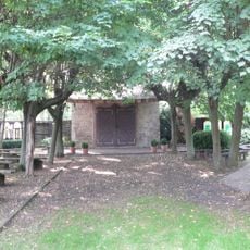
The church functions as a gathering place for the local community and reflects the religious practices rooted in this Thuringian region. Visitors can observe how people have used this space to express and share their faith over generations.
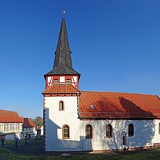
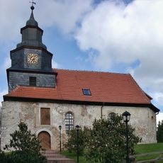
Access to the church is typically available during daylight hours, allowing visitors to explore the interior at their own pace. Respectful behavior is appreciated since this remains an active place of worship for the local community.
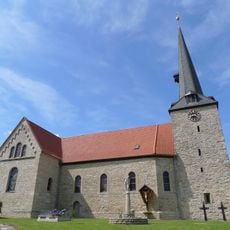
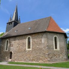
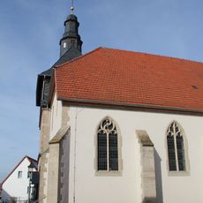
The church displays craftsmanship details and building methods that are characteristic of construction practices in this region and rarely highlighted. These local building techniques offer insight into the knowledge and skills of the craftspeople who worked here.
The community of curious travelers
AroundUs brings together thousands of curated places, local tips, and hidden gems, enriched daily by 60,000 contributors worldwide.