
Fort II, part of the former inner ring of forts in Cologne, Germany (no visible remains) on the left (Western) bank of the River Rhine
Location: Raderberg
Inception: November 1816
Part of: Forts in Cologne
GPS coordinates: 50.91420,6.95730
Latest update: March 7, 2025 04:31
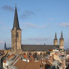
Basilica of St. Severin
1 km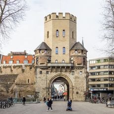
Severinstorburg
868 m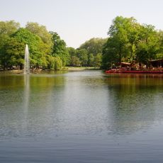
Volksgarten
1 km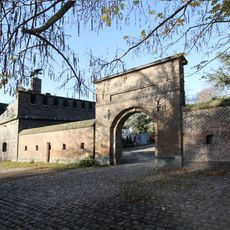
Friedenspark
839 m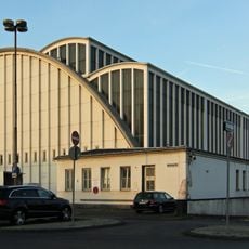
Großmarkt Köln
310 m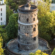
Bottmühle (Köln)
1 km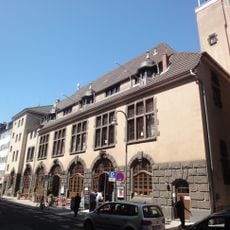
Comedia Theater
718 m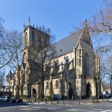
St. Paul (Köln)
1 km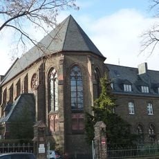
Herz-Jesu-Kloster
786 m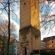
Lutherkirche
681 m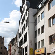
Haus Balchem
934 m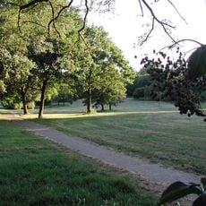
Vorgebirgspark
642 m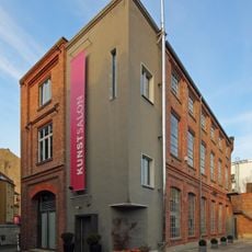
Kunstsalon Köln
655 m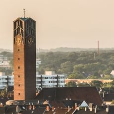
St. Pius (Köln)
1 km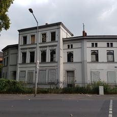
Villa Lenders
544 m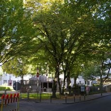
Vorgebirgsplatz
887 m
Theophanoplatz
1.1 km
St. Maternus
529 m
St. Mariä Empfängnis
1 km
St. Pius
1 km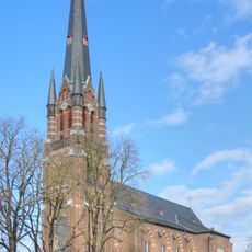
St. Matthias
878 m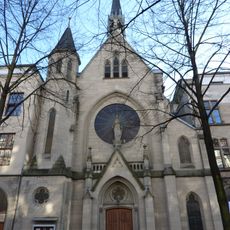
Maria Hilf
497 m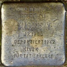
Stolperstein dedicated to Erich Klibansky
758 m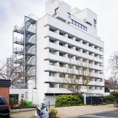
Bernhardstraße 12
728 m
Südflügel, St. Antonius Krankenhaus
800 m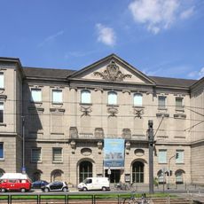
Rautenstrauch-Joest-Museum
1 km
Hochwasserpumpwerk Schönhauser Straße
1 km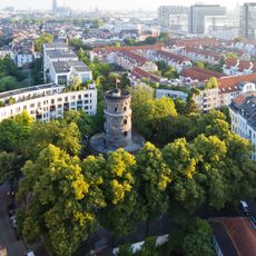
Rundbau Bottmühle
1 kmReviews
Visited this place? Tap the stars to rate it and share your experience / photos with the community! Try now! You can cancel it anytime.
Discover hidden gems everywhere you go!
From secret cafés to breathtaking viewpoints, skip the crowded tourist spots and find places that match your style. Our app makes it easy with voice search, smart filtering, route optimization, and insider tips from travelers worldwide. Download now for the complete mobile experience.

A unique approach to discovering new places❞
— Le Figaro
All the places worth exploring❞
— France Info
A tailor-made excursion in just a few clicks❞
— 20 Minutes