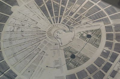
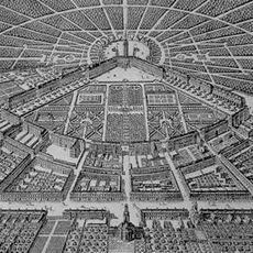
City map relief in the Karlsruhe Pyramid, Weinbrenner's city map of Karlsruhe engraved in limestone
The city map relief in the Karlsruhe Pyramid is a carved and painted limestone map showing how the city looked in the early 1800s. The surface measures roughly one meter across and features decorative vine patterns and compass roses on all four sides, while original pigments in blue, yellow, red, and green once distinguished different city quarters.
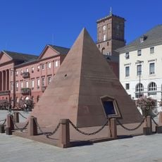
Architect Friedrich Weinbrenner designed the relief in 1823, created by the workshop led by Johann Jacob Meyerhuber. It was placed inside the Karlsruhe Pyramid, a tomb for Karl Wilhelm of Baden-Durlach, where it documents the city's growth across different periods of rule.
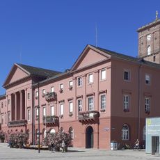
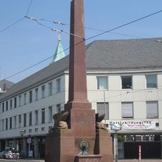
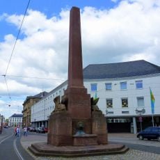
The name refers to the pyramid itself, a monument that still stands at the center today. The setting reflects how locals and visitors connect the map to the broader story of their city.
The stone sits inside the pyramid on the city's central square and can be viewed through windows or openings in the structure. Taking time to examine the fine details and color variations is worthwhile, as some engraved lines run very close together.
The map displays the city in different phases of growth, with each color representing a separate ruler and era. This color-coded layering of time allows visitors to visually trace how Karlsruhe expanded piece by piece.
The community of curious travelers
AroundUs brings together thousands of curated places, local tips, and hidden gems, enriched daily by 60,000 contributors worldwide.