
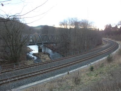
Ehemalige Stahlträger-Eisenbahnbrücke in Aue-Bad Schlema
Location: Aue
Inception: 1964
GPS coordinates: 50.62090,12.67754
Latest update: March 22, 2025 23:51
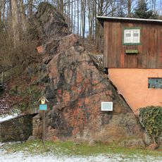
Geotop Roter Kamm
2.7 km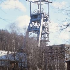
Shaft 371
1.3 km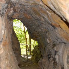
Prinzenhöhle
1.8 km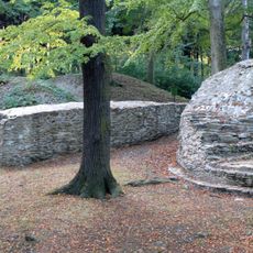
Isenburg
1.5 km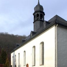
Zelle Abbey
2.8 km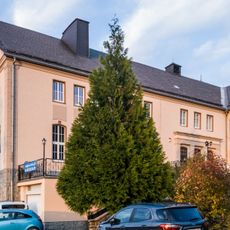
Museum Uranbergbau
2.3 km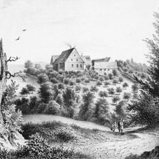
Edelhof Alberoda
2.7 km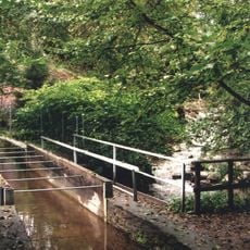
Floßgraben bei Schlema
2.8 km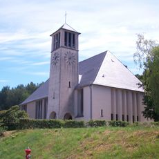
Auferstehungskirche Oberschlema
1.6 km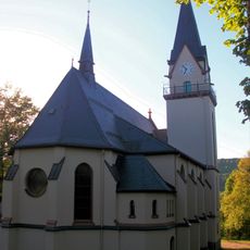
Martin-Luther-Kirche Niederschlema
1.2 km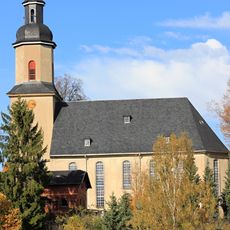
Kirche Wildbach
1.6 km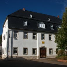
Category:Klösterlein Zelle (Rittergut)
2.8 km
Vogelherd Niederschlema
1.5 km
Hartensteiner Wald
2.1 km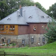
Rittergut Alberoda
2.7 km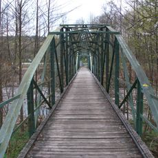
Eisenbrücke Bad Schlema–Alberoda
1.7 km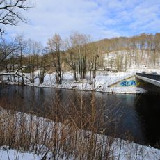
Hartensteiner Muldetal und Forstrevier
2.9 km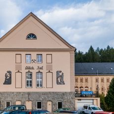
Kulturhaus Aktivist
2.3 km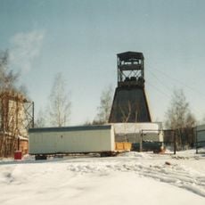
Schacht 382
806 m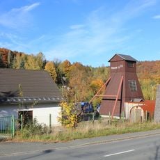
Schacht 15 IIbis
2.6 km
Schacht 7bis
2.2 km
Schneeberger Floßgraben section Bad Schlema
1.5 km
Schacht 7
2.1 km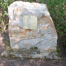
Schacht 6bis
2.3 km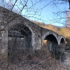
Brücke Zwickauer Mulde; Eisenbahnstrecke Schwarzenberg – Zwickau
19 m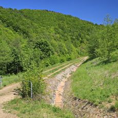
Basteihang
1.1 km
Marktsteig
1.7 km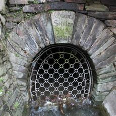
Markus-Semmler-Stolln Bad Schlema
284 mReviews
Visited this place? Tap the stars to rate it and share your experience / photos with the community! Try now! You can cancel it anytime.
Discover hidden gems everywhere you go!
From secret cafés to breathtaking viewpoints, skip the crowded tourist spots and find places that match your style. Our app makes it easy with voice search, smart filtering, route optimization, and insider tips from travelers worldwide. Download now for the complete mobile experience.

A unique approach to discovering new places❞
— Le Figaro
All the places worth exploring❞
— France Info
A tailor-made excursion in just a few clicks❞
— 20 Minutes