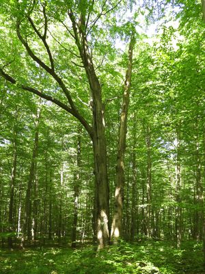
Vier-Buchen auf dem Karnberg bei Wanfried, Natural monument grove near Wanfried, Germany
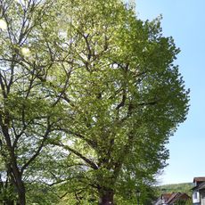
The four beeches on Karnberg hill are an old stand of four trees, each with a circumference of about 2 meters and heights over 20 meters, forming a distinct group on the hilltop. They grow closely together and create a notable feature in the forest landscape of this region.
These trees stand in an area that experienced intense fighting during the Thirty Years' War around 1648 between Swedish and Imperial forces. The beeches have been a known feature of the landscape since that time and have witnessed many generations of change.
The four beeches earned their name Schwedenbecher from a hollow between the trunks that collected water, which locals considered beneficial for fertility. This detail shows how natural features remain alive in folk stories and local memory.
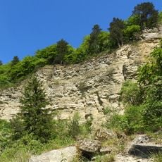
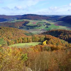
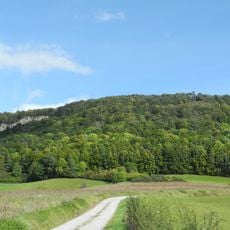
The natural monument sits on a hill and can be reached via hiking trails that are well marked in the region. The location is elevated in the landscape, so sturdy footwear is recommended when visiting.
Local folklore holds that a Swedish general from the war period rests beneath these beeches, keeping the site alive in the region's storytelling for generations. Whether this is historically documented or exists only in regional memory remains a secret the trees themselves guard.
The community of curious travelers
AroundUs brings together thousands of curated places, local tips, and hidden gems, enriched daily by 60,000 contributors worldwide.