
Plaidter Hummerich, protected landscape area in Rheinland-Pfalz, Germany
Location: Mayen-Koblenz
Inception: 1958
GPS coordinates: 50.38650,7.36917
Latest update: April 8, 2025 03:49
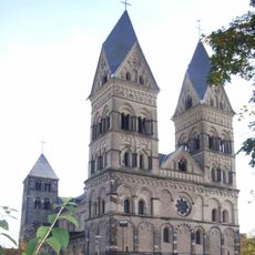
Liebfrauenkirche in Andernach
6.2 km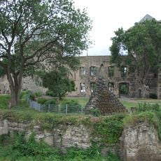
Stadtburg Andernach
6.4 km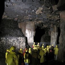
Lavakeller Mendig
6.1 km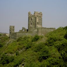
Burg Wernerseck
1.7 km
Lava-Dome Mendig
6.3 km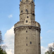
Round Tower
6.3 km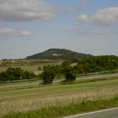
Karmelenberg
6 km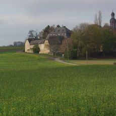
Fraukirch
5.5 km
Castrum Antunnacum
6.3 km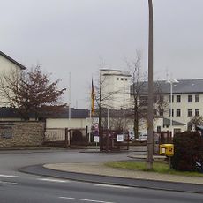
Krahnenberg-Kaserne
5 km
German Volcano Museum lava dome
6.3 km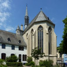
Christuskirche (Andernach)
6.4 km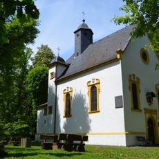
Saint Mary Chapel
6 km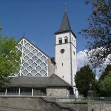
St. Martin
4.5 km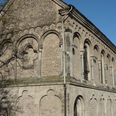
St. Michael (Andernach)
5.8 km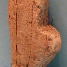
Venus of Andernach
5.7 km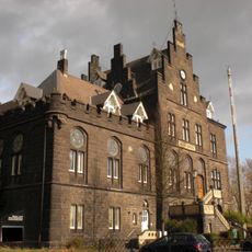
Mendig station
5.9 km
Vulkanpark Infozentrum
2.4 km
Krahnenbergbahn
6.3 km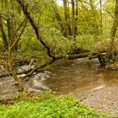
Nettetal
5.6 km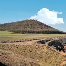
Korretsberg
1.4 km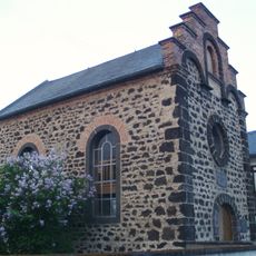
Synagoge Saffig
3.6 km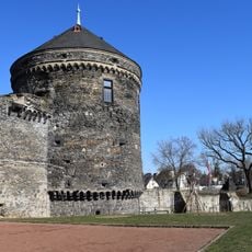
Pulverturm, Andernach
6.4 km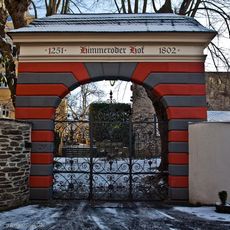
Himmeroder Hof
6.2 km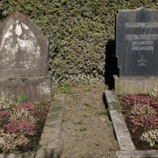
Jüdischer Friedhof
1.9 km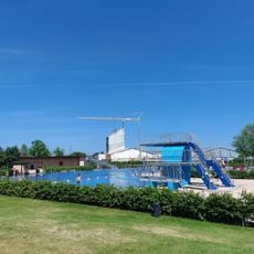
Ons Schwemmbad
5.8 km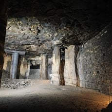
Lavakeller (Mendig)
6.1 km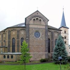
St. Arnulf
4.3 kmReviews
Visited this place? Tap the stars to rate it and share your experience / photos with the community! Try now! You can cancel it anytime.
Discover hidden gems everywhere you go!
From secret cafés to breathtaking viewpoints, skip the crowded tourist spots and find places that match your style. Our app makes it easy with voice search, smart filtering, route optimization, and insider tips from travelers worldwide. Download now for the complete mobile experience.

A unique approach to discovering new places❞
— Le Figaro
All the places worth exploring❞
— France Info
A tailor-made excursion in just a few clicks❞
— 20 Minutes