
Rheinnieder bei Vallendar, protected landscape area in Rheinland-Pfalz, Germany
Location: Mayen-Koblenz
Inception: 2003
GPS coordinates: 50.40670,7.59789
Latest update: March 31, 2025 16:53
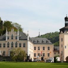
Schloss Sayn
3.8 km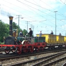
DB Museum, Koblenz
3.2 km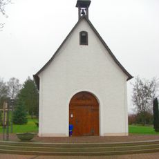
Schoenstatt Shrine
2.7 km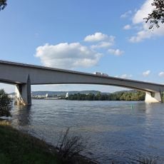
Bendorfer Brücke
1.7 km
Anbetungskirche
2.7 km
Schönbornslust
2.5 km
Kulturfabrik
3.8 km
Sayn Abbey
3.6 km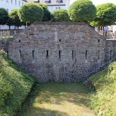
Neuendorf Flèche
3.6 km
Graswerth
543 m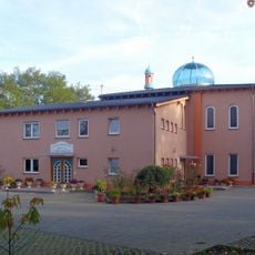
Tahir Mosque
3.5 km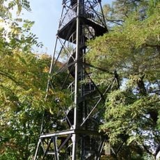
Kaiser-Friedrich-Turm
2.3 km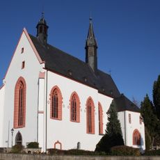
St. Georg
1.9 km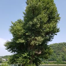
Hüttchesbaum
3.7 km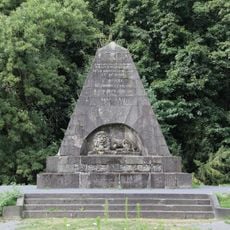
Marceau-Denkmal
3.7 km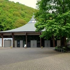
Pilgerkirche
2.5 km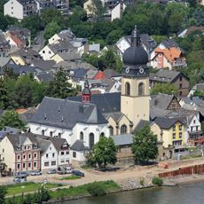
St. Peter (Koblenz-Neuendorf)
3.4 km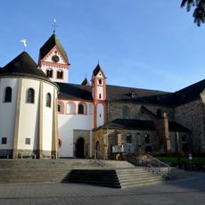
St. Medardus
2.2 km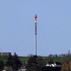
Sender Bendorf-Vierwindenhöhe
1.2 km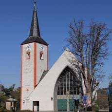
St. Martin
1.3 km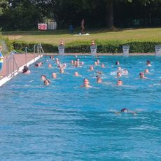
Freibad Vallendar
3.1 km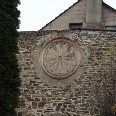
Synagogue (Vallendar)
1.5 km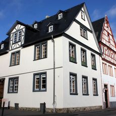
Floßherrenhaus
3.6 km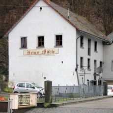
Hein’s Mühle
3.6 km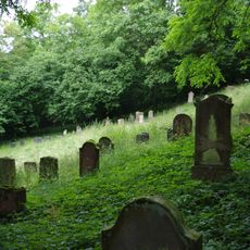
Jüdischer Friedhof
3.3 km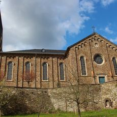
St. Marzellinus und Petrus
1.2 km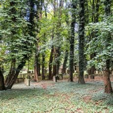
Jüdischer Friedhof (Bendorf)
2.5 km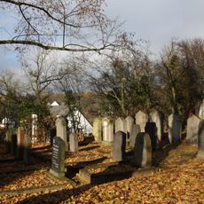
Jüdischer Friedhof
984 mReviews
Visited this place? Tap the stars to rate it and share your experience / photos with the community! Try now! You can cancel it anytime.
Discover hidden gems everywhere you go!
From secret cafés to breathtaking viewpoints, skip the crowded tourist spots and find places that match your style. Our app makes it easy with voice search, smart filtering, route optimization, and insider tips from travelers worldwide. Download now for the complete mobile experience.

A unique approach to discovering new places❞
— Le Figaro
All the places worth exploring❞
— France Info
A tailor-made excursion in just a few clicks❞
— 20 Minutes