
LSG-Deponieerweiterungsflaeche Kolkerhofweg <temporaer>
LSG-Deponieerweiterungsflaeche Kolkerhofweg <temporaer>, protected area in Germany
Location: Mülheim an der Ruhr
Inception: 2005
GPS coordinates: 51.44908,6.81719
Latest update: June 10, 2025 01:11

Duisburg Zoo
1.7 km
Sapo National Park
1.7 km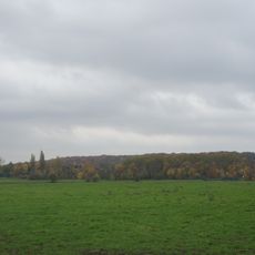
Kaiserberg
1.7 km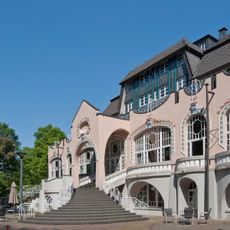
Wolfsburg
2.6 km
Expo-Brücke
2.6 km
Solbad Raffelberg
1.2 km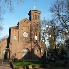
Saint Anthony of Padua Church (Alstaden)
2 km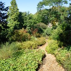
Botanischer Garten am Kaiserberg
2 km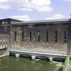
Raffelberg power station
1 km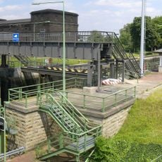
Schleuse Raffelberg
1.1 km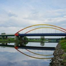
Aakerfährbrücke
1.8 km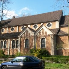
St. Peter
2.4 km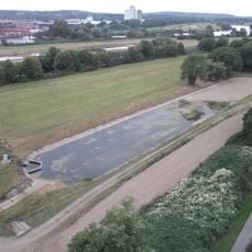
RWW Ruhrwasserwerk Styrum-Ost
2.1 km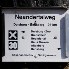
Neandertalweg
2 km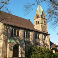
Evangelische Kirche Alstaden
1.6 km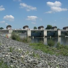
Wehr Raffelberg
1.5 km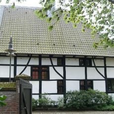
Neickmannshof
2.5 km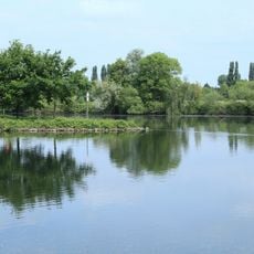
Styrumer Ruhraue
740 m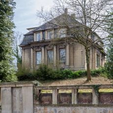
Brohler Villa
2 km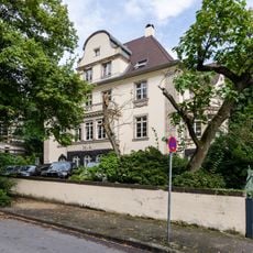
Wilhelmshöhe 6, Duisburg
2 km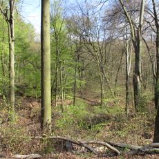
LSG-Waldgebiet am Kaiserberg, "Schnabelhuck", "Ehrenfriedhof", "Marienborn"
1.6 km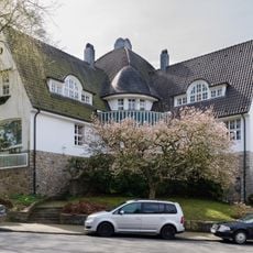
Prinzenhöhe 26, Mülheim
2 km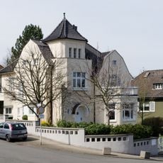
Prinzenhöhe 14, Mülheim
2 km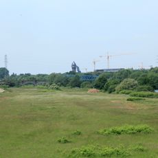
LSG Speldorf - Styrumer Ruhraue
1.2 km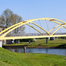
Brücke über den Verbindungskanal
2.4 km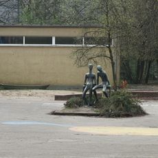
Boys talking
2.4 km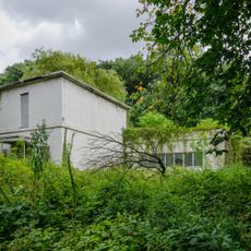
Fahrenkamp extension
2 km
Henle Villa
2 kmReviews
Visited this place? Tap the stars to rate it and share your experience / photos with the community! Try now! You can cancel it anytime.
Discover hidden gems everywhere you go!
From secret cafés to breathtaking viewpoints, skip the crowded tourist spots and find places that match your style. Our app makes it easy with voice search, smart filtering, route optimization, and insider tips from travelers worldwide. Download now for the complete mobile experience.

A unique approach to discovering new places❞
— Le Figaro
All the places worth exploring❞
— France Info
A tailor-made excursion in just a few clicks❞
— 20 Minutes