
Ravensberger Hügelland, protected landscape in western part of Bielefeld, Germany
Location: Bielefeld
Inception: 1995
GPS coordinates: 52.02639,8.62752
Latest update: March 4, 2025 03:13
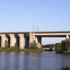
Schildescher Viadukt
5.1 km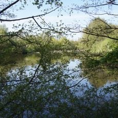
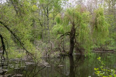
Töpker Teich
1.6 km
Windwehetal
3.2 km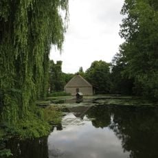
Hof Meyer zu Bentrup
115 m
MuMa-Forum
3.8 km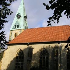
St. Peter und Paul (Bielefeld-Heepen)
1.9 km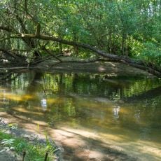
Windweheniederung
1.7 km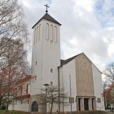
St. Hedwig
1.6 km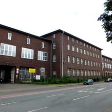
Lenkwerk
5 km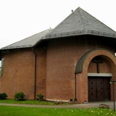
Apostel-Paulus-Kirche
5.2 km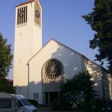
St. Meinolf
3.9 km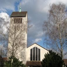
Petrikirche
4.3 km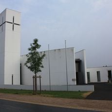
St. Johannis Baptist
4.8 km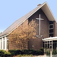
Neuapostolische Kirche Bielefeld-Ost
4.6 km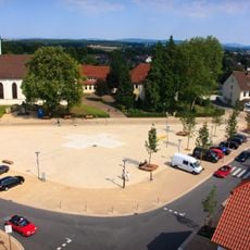
Evangelisch-reformierte Kirche Leopoldshöhe
5.1 km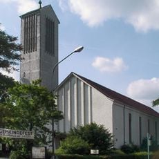
St. Bonifatius
3.9 km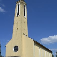
Heilig-Kreuz-Kirche
4.8 km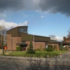
Maria Königin
3.6 km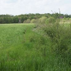
Eichen-Hainbuchenwald am Hövingsfeld
2 km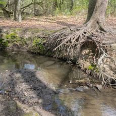
Großer Bruch am Wellbach
4.5 km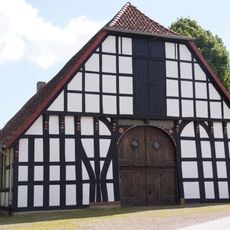
Gut Hovedissen
5.2 km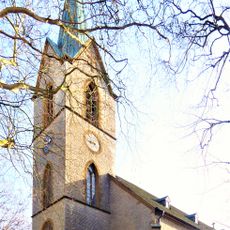
Protestant Church
4.7 km
Dankmasch
2.7 km
Auf dem Kort
3.8 km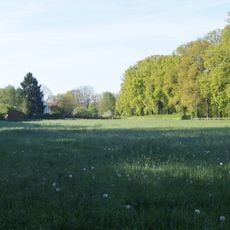
Feuchtgebiet bei Meyer zu Stieghorst
2.7 km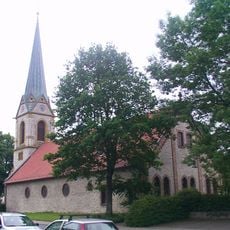
Markuskirche
3.6 km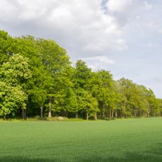
LSG-Bielefelder Osning mit Teutoburger Wald und OsningVorbergen sowie Ravensberger Huegelland
5.2 km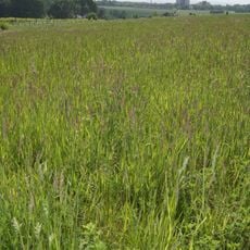
LSG Johannisbach-Unterseebereich
4.4 kmVisited this place? Tap the stars to rate it and share your experience / photos with the community! Try now! You can cancel it anytime.
Discover hidden gems everywhere you go!
From secret cafés to breathtaking viewpoints, skip the crowded tourist spots and find places that match your style. Our app makes it easy with voice search, smart filtering, route optimization, and insider tips from travelers worldwide. Download now for the complete mobile experience.

A unique approach to discovering new places❞
— Le Figaro
All the places worth exploring❞
— France Info
A tailor-made excursion in just a few clicks❞
— 20 Minutes