Enable Location

We need your location to show you interesting places around you

Discover nearby places

Find interesting locations and hidden gems around you

Precise directions

Get accurate directions and distances to places

Your location is never shared with other users. It's only used when you tap the location button.

Friedensweg

Log in to your account

Start exploring — it's free

Trusted by 62,013 travelers worldwide

Continue with Google
Continue with Apple
or

We will send you a code to connect

By continuing, you accept our Terms and Conditions and our Privacy Policy

Check your inbox

We've sent a pincode in your inbox. Please enter the code below.

Friedensweg

Friedensweg, Long-distance trail in Thuringia and Bavaria, Germany.

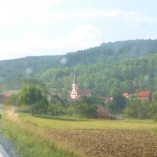
The Friedensweg is a long-distance hiking trail spanning roughly 40 kilometers through Thuringia and Bavaria along the former inner German border. Forty information panels are distributed along the route, helping walkers understand the landscape and its past.

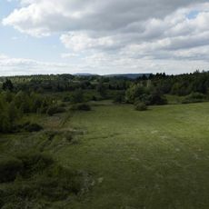
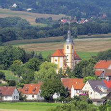
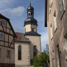
The trail follows the former boundary between East and West Germany, created to preserve the memory of divided communities during the Cold War era. The route was developed to make this significant chapter of German history accessible and tangible to visitors.

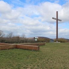
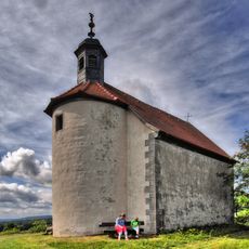
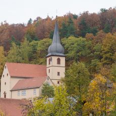
The trail includes the German Unity Sculpture Park and the World Peace Cross in Hermannsfeld, marking significant locations of German reunification.

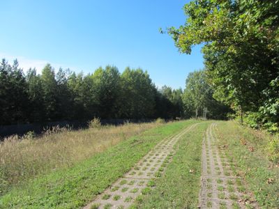
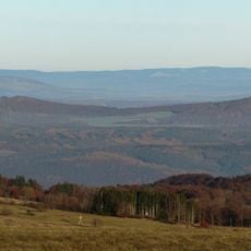
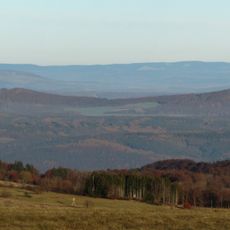
The trail uses former border patrol roads and is marked with the Golden Bridge symbol, with elevations reaching up to 800 meters in places. Navigation is straightforward thanks to clear signage, allowing visitors to explore at their own pace.

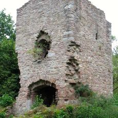
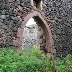
Section 43 near the Steinkopf Open-Air Museum preserves original border installations that are now protected as ground monuments. These remains offer a direct glimpse into the physical reality of the former division.

The community of curious travelers

AroundUs brings together thousands of curated places, local tips, and hidden gems, enriched daily by 60,000 contributors worldwide.

Start exploring
Location
Location
Operator
Bürger für sanften Tourismus in Hermannsfeld e.V.
GPS coordinates
50.48389,10.33916
Latest update
December 8, 2025 19:56
« Friedensweg - Long-distance trail in Thuringia and Bavaria, Germany » is provided by Around Us (aroundus.com). Images and texts are derived from Wikimedia project under a Creative Commons license. You are allowed to copy, distribute, and modify copies of this page, under the conditions set by the license, as long as this note is clearly visible.

Discover hidden gems everywhere you go!

From secret cafés to breathtaking viewpoints, skip the crowded tourist spots and find places that match your style. Our app makes it easy with voice search, smart filtering, route optimization, and insider tips from travelers worldwide. Download now for the complete mobile experience.

Around Us App Screenshot

A unique approach to discovering new places

Le Figaro

All the places worth exploring

France Info

A tailor-made excursion in just a few clicks

20 Minutes

Around Us
Travel Guide & Maps
Download

Send to your phone

QR Code
1

Open the camera app on your mobile.

2

Point at the QR code with your camera. A notification will appear.

3

Tap the notification to open the link.