
Stone run Hoher Meißner, stone runs, boulders at Hoher Meißner mountain, Hesse, Germany
Location: Werra-Meißner-Kreis
Part of: Meißner-Kaufunger Wald Nature Park
GPS coordinates: 51.21662,9.87407
Latest update: March 2, 2025 21:37


Frau-Holle-Teich
394 m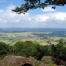
Kalbe
87 m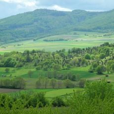
Naturschutzgebiet Kripplöcher und Hielöcher
3.7 km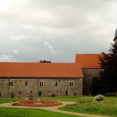
Kloster Germerode
3.2 km
Kitzkammer
2.8 km
Naturschutzgebiet Bühlchen bei Weißenbach
3.6 km
Meißner
32 m
Seesteine (Meißner)
3.1 km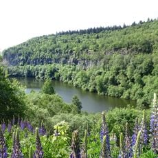
Vogelschutzgebiet Meißner
2 km
Totenkirche Abterode
4.8 km
Bärenstein Abterode
5 km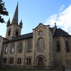
Evangelische Kirche Abterode
4.4 km
Breitenborn (Karst spring)
4.6 km
Quellgebiet der Weißen Gelster
4.6 km
Former Abterode synagogue
4.5 km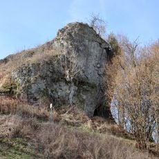
Mühlstein (Wolfterode)
3.4 km
Kressenborn
4.5 km
Evangelische Kirche
4.1 km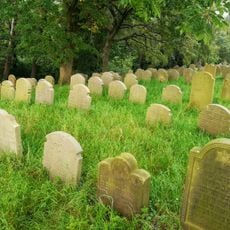
Jewish cemetery (Abterode)
4.2 km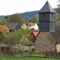
Kirche Rodebach
4.5 km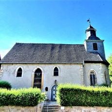
Evangelische Kirche Wolfterode
3 km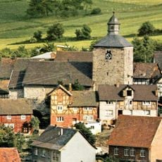
Ev. Kirche
4.9 km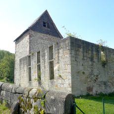
Kirchenruine
4.6 km
Klosterkirche Germerode
3.2 km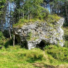
Ellerstein
4.8 km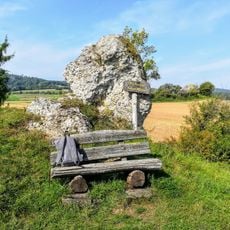
Kleiner Marstein
4.1 km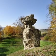
Meißner und Meißner Vorland
1.9 km
Ev. Kirche
4.5 kmReviews
Visited this place? Tap the stars to rate it and share your experience / photos with the community! Try now! You can cancel it anytime.
Discover hidden gems everywhere you go!
From secret cafés to breathtaking viewpoints, skip the crowded tourist spots and find places that match your style. Our app makes it easy with voice search, smart filtering, route optimization, and insider tips from travelers worldwide. Download now for the complete mobile experience.

A unique approach to discovering new places❞
— Le Figaro
All the places worth exploring❞
— France Info
A tailor-made excursion in just a few clicks❞
— 20 Minutes