
Jirapa Municipal District, district of Ghana
Location: Upper West Region
Capital city: Jirapa
GPS coordinates: 10.71025,-2.58332
Latest update: March 4, 2025 06:30

Larabanga Mosque
183.9 km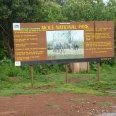
Mole National Park
139.3 km
Paga Crocodile Pond
164 km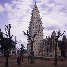
Bobo Dioulasso Grand Mosque
194.3 km
Comoé National Park
216 km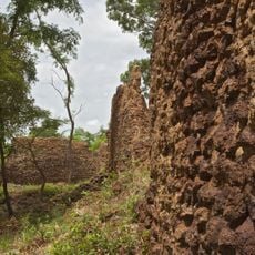
Ruins of Loropéni
116.1 km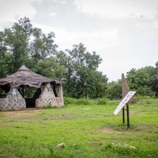
Pikworo Slave camp
162.8 km
Wa Naa's Palace
72.5 km
Ranch de gibier et forêt de Nazinga
129.1 km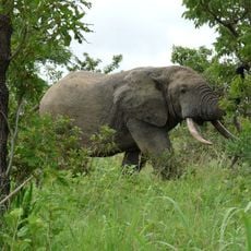
Nazinga Game Ranch
131.2 km
Kaboré Tambi National Park
165.4 km
Deux Balés National Park
114.4 km
Tongo Hills
193.5 km
Cathedral Basilica of Our Lady of Seven Sorrows
165.8 km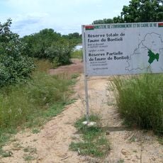
Bontioli Reserve
63.2 km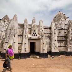
Bole Mosque
187.5 km
Zawara
119.5 km
Well of Hope
196.9 km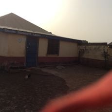
Dallung Community Library
210.2 km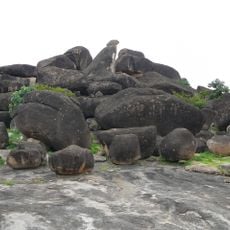
Hiding Cave
193.5 km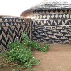
Tiébélé Royal Court
183.3 km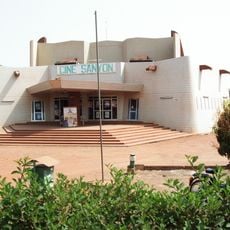
Ciné Sanyon
194.6 km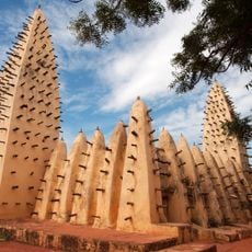
Dioulassoba
194.3 km
Zonno Zoore
200.2 km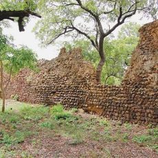
Ruins of Loropéni
120.9 km
Forêt Classé de Kou (La Guinguette)
209.9 km
Musée de Gaoua
77.5 km
Musée Rayimi à Issouka
171.5 kmVisited this place? Tap the stars to rate it and share your experience / photos with the community! Try now! You can cancel it anytime.
Discover hidden gems everywhere you go!
From secret cafés to breathtaking viewpoints, skip the crowded tourist spots and find places that match your style. Our app makes it easy with voice search, smart filtering, route optimization, and insider tips from travelers worldwide. Download now for the complete mobile experience.

A unique approach to discovering new places❞
— Le Figaro
All the places worth exploring❞
— France Info
A tailor-made excursion in just a few clicks❞
— 20 Minutes