Comoé National Park, National park in Zanzan and Savanes districts, Ivory Coast
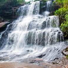
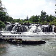
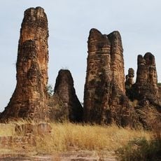
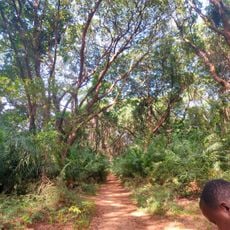
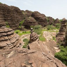
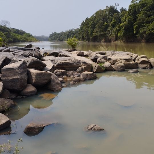
Comoé National Park covers 11,500 km² of north-eastern Ivory Coast, from humid Guinea savanna to the dry Sudanian zone. The Comoé River crosses it for 230 km, flanked by gallery forest, riparian grassland and forest islands, with granite inselbergs rising to 600 m. Its soils are largely infertile and unsuited to farming.
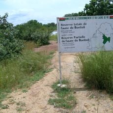
The area between the Comoé River and Bouna was declared "Refuge Nord de la Côte d'Ivoire" in 1926, then enlarged in 1942 and 1953 as the Réserve de Faune de Bouna. On 9 February 1968, decree 68-81 added the land west of the river and raised it to national park status at 11,500 km². It became a biosphere reserve and World Heritage Site in 1983, was listed in danger in 2003 after the civil war, and was removed from that list on 4 July 2017.
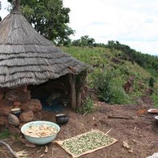
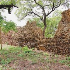
Lobi villages are numerous inside the park, and the reserve was created in 1926 as the Refuge Nord de la Côte d'Ivoire before becoming the Réserve de Faune de Bouna in 1953. The park is named after the Comoé River, which crosses it for about 230 km. In the 1960s lions roared and leopards called every night; lions have not been recorded since 2008.
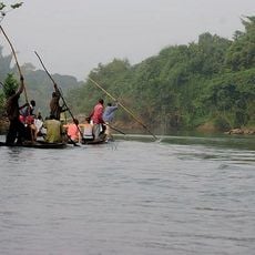
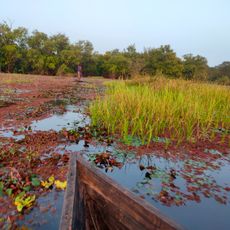
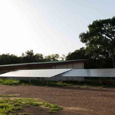
The park lies about 100 km north-east of Bondoukou, in the Bounkani region, and is reached by a network of some 500 km of drivable tracks; the Comoé itself can be travelled by pirogue. The dry season is the easier time to get around, since many ponds and seasonal floodplains shrink. The OIPR manages the park and its research station, so arrange access and a guide through them before setting out.
The park shelters all three of Africa's crocodile species: the Nile crocodile, the slender-snouted crocodile and the dwarf crocodile. Its seasonal floodplains along the Comoé also feed a hippopotamus population, and the river runs through the park for about 230 kilometres.
The community of curious travelers
AroundUs brings together thousands of curated places, local tips, and hidden gems, enriched daily by 92,769 contributors worldwide.