Chest opened
+${chestReward.xp} XP
Explorer
NOUVEAU ×${chestReward.collectible.quantity}
tapez pour fermer

See the monuments around you in AR Open chests in the app

Around Us is built for your phone — point your camera at the streets and discover the monuments and places around you in augmented reality. Around Us is built for your phone — chests unlock when you walk, explore and capture nearby places.

•

Enable Location

We need your location to show you interesting places around you

Discover nearby places

Find interesting locations and hidden gems around you

Precise directions

Get accurate directions and distances to places

Your location is never shared with other users. It's only used when you tap the location button.

Karfi

Log in to your account

Start exploring — it's free

Trusted by 94,388 travelers worldwide

Continue with Google
Continue with Apple
or

We will send you a code to connect

By continuing, you accept our Terms and Conditions and our Privacy Policy

Check your inbox

We've sent a pincode in your inbox. Please enter the code below.

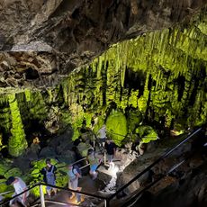
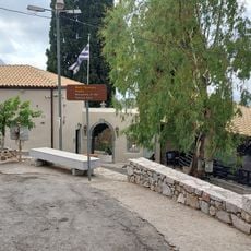
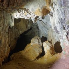
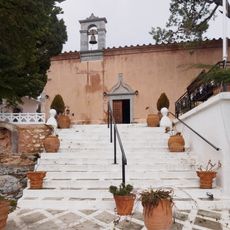
Karfi, Archaeological site atop Dikti Mountains, Greece

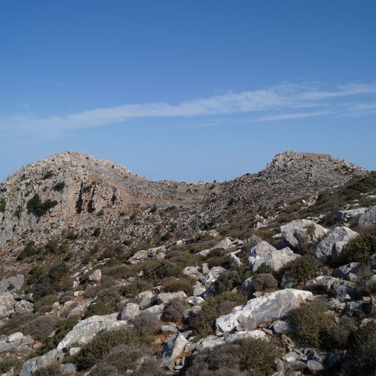
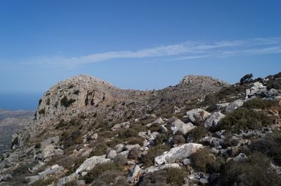
Karfi is an archaeological site high in the Dikti Mountains of eastern Crete, at about 1,100 meters above sea level, overlooking the northern entrance to the Lasithi Plateau. Its peak is marked by a bifurcated limestone outcropping resembling a crescent horn altar. Excavated remains include single-story houses, paved streets, a shrine with an altar, and two tholos-tomb cemeteries nearby.

The settlement took shape after the collapse of Minoan palace civilization around 1200 BCE, when people moved to this high ground to shelter from incoming Dorian groups. It remained occupied until around 725 BCE, when the community eventually abandoned the harsh peak.

Clay figurines found at the site, showing goddesses with raised arms, are now among the most recognized objects at the Heraklion Archaeological Museum. Seeing them in person gives a direct sense of how people living in this remote mountain settlement expressed their beliefs.

The site is reachable on foot from Kera or Lagavolia village along a dirt path that also forms part of the E4 European hiking trail. The ground is steep and fully exposed, so firm footwear and enough water are necessary before setting out.

The limestone knob that gives Karfi its name looks like a nail especially from the north. The site's ancient name is unknown. Excavations in 1937 and 1939 by J. D. S. Pendlebury and the British School at Athens uncovered only about a third of the settlement, according to Swindale.

The community of curious travelers

AroundUs brings together thousands of curated places, local tips, and hidden gems, enriched daily by 94,388 contributors worldwide.
Start exploring
GPS coordinates
35.20989,25.47680
Latest update
October 26, 2026 04:30
Reviews
Share your experience

No review yet

Discussions
Start a discussion...

No discussion yet

« Karfi - Archaeological site atop Dikti Mountains, Greece » is provided by Around Us (aroundus.com). Images and texts are derived from Wikimedia project under a Creative Commons license. You are allowed to copy, distribute, and modify copies of this page, under the conditions set by the license, as long as this note is clearly visible.

Discover hidden gems everywhere you go!

From secret cafés to breathtaking viewpoints, skip the crowded tourist spots and find places that match your style. Our app makes it easy with voice search, smart filtering, route optimization, and insider tips from travelers worldwide. Download now for the complete mobile experience.

Around Us App Screenshot
❝

A unique approach to discovering new places❞

— Le Figaro

❝

All the places worth exploring❞

— France Info

❝

A tailor-made excursion in just a few clicks❞

— 20 Minutes

Around Us
Travel Guide & Maps
Download

Send to your phone

QR Code
1

Open the camera app on your mobile.

2

Point at the QR code with your camera. A notification will appear.

3

Tap the notification to open the link.