Agnanta municipality, Former municipality in Central Tzoumerka, Greece
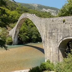
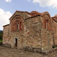
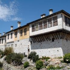
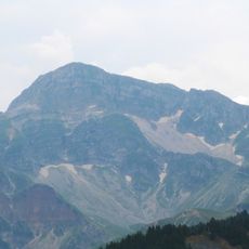
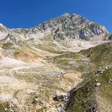
Agnanta is a former municipality in Central Tzoumerka located about 55 kilometers north of Arta, situated across mountainous terrain at elevations between 650 and 1000 meters. The area covers roughly 124 square kilometers and is defined by dense forests of fir, maple, and pine trees.
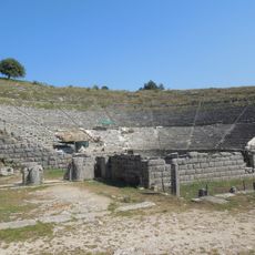
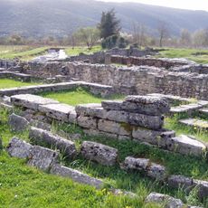
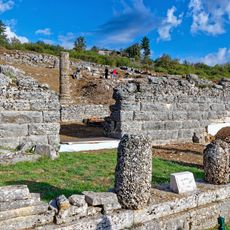
The earliest known written reference to Agnanta appears in a Turkish deed from 1729, which documented properties and forest lands within the area. This record shows that the region was inhabited and had economic value during the Ottoman period.
The name Agnanta comes from the Greek word agnantia, meaning to observe from afar or to watch across a distance. This sense of looking outward still shapes how visitors experience the expansive mountain views today.
The terrain is mountainous and requires sturdy footwear for walking on mountain paths and forest trails. Spring and autumn are the best seasons to visit, as temperatures are mild and roads remain easily accessible.
The landscape undergoes dramatic shifts in color and appearance with the changing seasons, transforming from lush green forests in summer to snow-covered slopes in winter. These seasonal contrasts mean the place looks entirely different depending on when you visit.
The community of curious travelers
AroundUs brings together thousands of curated places, local tips, and hidden gems, enriched daily by 60,000 contributors worldwide.