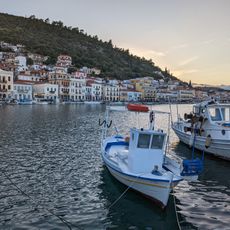
Mani Peninsula, Peninsula in southern Peloponnese, Greece
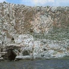
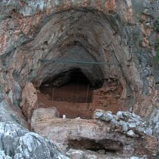
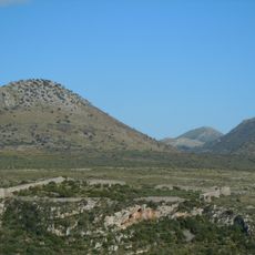
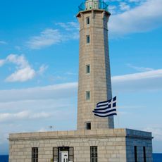
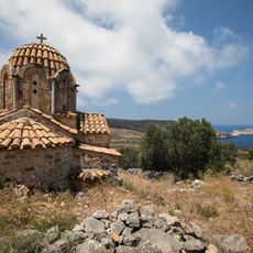
The Mani Peninsula stretches south from the Taygetus range to Cape Tenaro, flanked by the Messenian Gulf on the west and the Laconian Gulf on the east. Limestone cliffs rise along the coast, while the interior is crossed by barren mountains and narrow valleys.
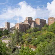
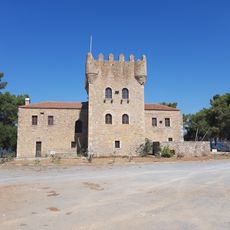
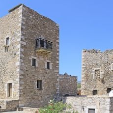
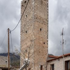
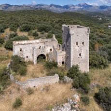
The region remained largely independent during Ottoman rule, with fortified clans resisting from their stone towers. In the 19th century, the Maniots played a key role in the Greek War of Independence, providing many fighters.
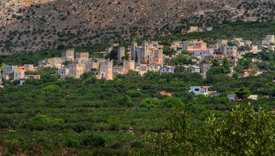
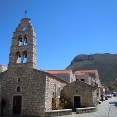
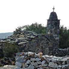
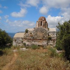
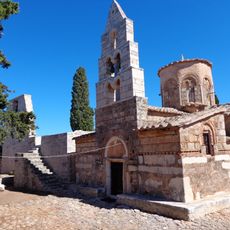
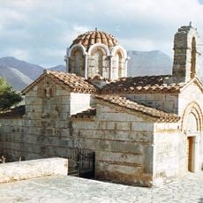
Local families maintain the tradition of tower houses, and many still live in restored stone buildings that once served defensive purposes. The villages preserve old customs, and the grey stone architecture shapes the landscape of this isolated region.
Narrow roads between villages require careful driving, especially in the southern part with its steep mountain paths. Hikers should bring enough water and sun protection, as shade and springs are rare in this dry area.
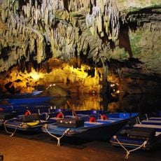
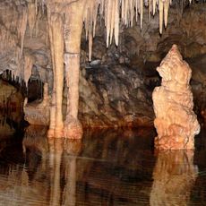
The Diros Caves contain underground waterways with limestone formations stretching far beneath the surface. Visitors can glide through the lit passages in small boats, exploring chambers decorated with stalactites.
GPS coordinates: 36.55900,22.43030
Latest update: December 12, 2025 18:06
The Peloponnese peninsula is a place where history and nature coexist. You will find ancient theaters carved into hillsides, medieval castles standing on rocky cliffs, and the remains of Byzantine structures scattered across the landscape. Natural wonders are equally impressive: waterfalls cascade...
Apidima Cave
13.5 km
Diros cave
9.9 km
Alepotrypa cave
9.8 km
Karyoupolis
13.3 km
Kalamakia Cave
14.3 km
Church of Taxiarches, Areopoli
12.7 km
Cape Matapan lighthouse
19.8 km
Kelefa Castle
16.1 km
Church of Panagia and Agios Charalambos (Areopoli)
12.7 km
Aghia Varvara church
13.2 km
Gythio Lighthouse
25.3 km
Tower of Kapetanakou - Areopoli
12.8 km
Agios Nikolaos (Lagia)
8.6 km
Towers in Lagia
9.4 km
Church of Sotira - Gardenitsa
4.3 km
Pyrgos Tzanetaki
25.2 km
Towers, Vatheia
12.2 km
Tower of Panteleakos
8.1 km
Church of Episkopis - Agiou Georgiou Kittas
5.2 km
Statue of Petrobey Mavromichalis, Areopoli
12.7 km
Tower of Tsikourios
17.5 km
Gytheion Port
25.3 km
Church of Vlachernas - Mezapos
4.9 km
Taxiarchs church, Charouda
7.2 km
Church of Agioi Sergios and Vakchos - Koita
4.8 km
Church of Agia Varvara Erimou
3 km
Bust of Stylianos Mavomichalis, Gytheio
25.5 km
Agioi Asomatoi (Anatoliki Mani)
18.2 kmVisited this place? Tap the stars to rate it and share your experience / photos with the community! Try now! You can cancel it anytime.
Discover hidden gems everywhere you go!
From secret cafés to breathtaking viewpoints, skip the crowded tourist spots and find places that match your style. Our app makes it easy with voice search, smart filtering, route optimization, and insider tips from travelers worldwide. Download now for the complete mobile experience.
A unique approach to discovering new places❞
— Le Figaro
All the places worth exploring❞
— France Info
A tailor-made excursion in just a few clicks❞
— 20 Minutes