
Seltsou Monastery, church building in Georgios Karaiskakis Municipality, Greece
Location: Georgios Karaiskakis Municipality
Inception: 1697
GPS coordinates: 39.32329,21.40375
Latest update: March 3, 2025 02:16

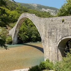
Plaka Bridge
35.6 km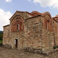
Red Church
19.1 km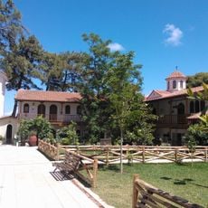
Faneromeni monastery (Leukada)
35.4 km
Porta Panagia
23.4 km
Kakarditsa
28.6 km
Korakou bridge
3 km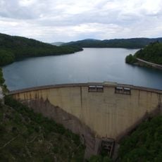
Plastiras Dam
31.1 km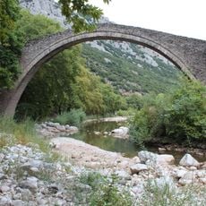
Portaikos Bridge
22.8 km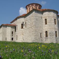
Petra Monastery (Karditsa)
35.6 km
Koroni Monastery
32.3 km
Church of Timios Stavros, Doliana
34.6 km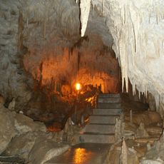
Cave Anemotrypa
34.5 km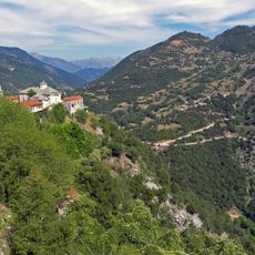
Monastery of the Cave, Karditsa
11.3 km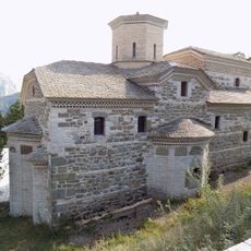
Agia Paraskevi Monastery
24 km
Katafydi
25 km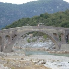
Templa bridge
24.9 km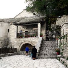
Panagia Pelekiti Monastery
25.5 km
Fanari Castle
35.8 km
Moni Agiou Georgiou Myrofyllou
7.9 km
Church of Ypapanti, Lepiana
29.1 km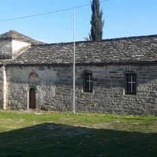
Church of Genesiou Theotokou, Megalochari
12.7 km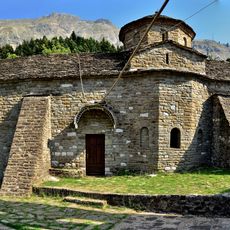
Moni Agiou Georgiou, Vourgareli
20 km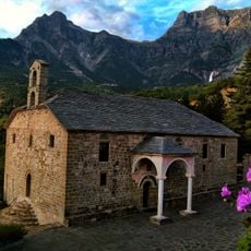
Monastery of Saint Catherine, Katarraktis
29 km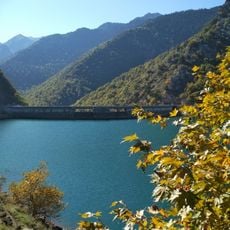
Periochi Limnis Tavropou
30.4 km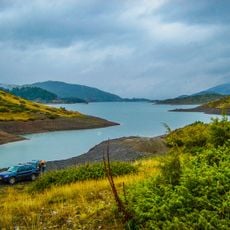
Valia Kalnta Kai Techniti Limni Aoou
17.9 km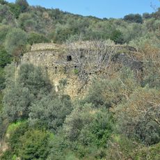
Koulia at Platy
35.4 km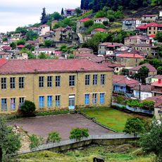
Primary school of Fanari
35.6 km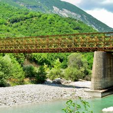
New Plaka Bridge
35.1 kmReviews
Visited this place? Tap the stars to rate it and share your experience / photos with the community! Try now! You can cancel it anytime.
Discover hidden gems everywhere you go!
From secret cafés to breathtaking viewpoints, skip the crowded tourist spots and find places that match your style. Our app makes it easy with voice search, smart filtering, route optimization, and insider tips from travelers worldwide. Download now for the complete mobile experience.

A unique approach to discovering new places❞
— Le Figaro
All the places worth exploring❞
— France Info
A tailor-made excursion in just a few clicks❞
— 20 Minutes