
Roman stone bridge, bridge in Greece
Location: Imathia Regional Unit
GPS coordinates: 40.57402,22.62252
Latest update: March 5, 2025 01:56

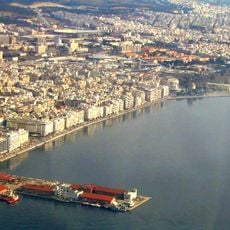
Thessaloniki Port
26.6 km
Archaeological Museum of Ancient Pella
22.7 km
Palataki (Thessaloniki)
26.6 km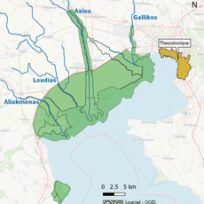
Axios-Loudias-Aliakmonas Delta National Park
8.1 km
Balkan Wars Museum
18.5 km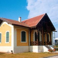
Railway Museum of Thessaloniki
24.9 km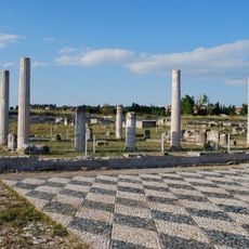
Pella archaeological site
21.9 km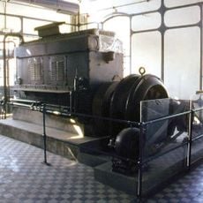
Water Supply Museum
25.8 km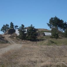
Agios Athanaios Macedonian tombs NW
19 km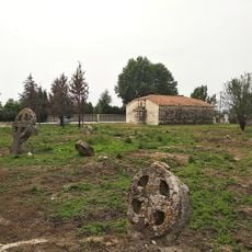
Sts. Peter and Paul Church, Chalkidonas
18 km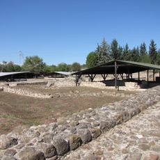
Louloudies
25.7 km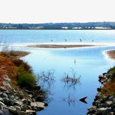
Limnothalassa Angelochoriou
19.6 km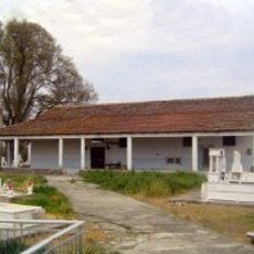
Saint Nicholas Church, Palaio Skylitsi
25.1 km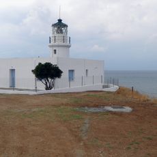
Angelochori Lighthouse
18.3 km
Sts. Peter and Paul Church, Aiginio
10.2 km
Saint Demetrius Church, Palatitsia
26.4 km
Ι. Ναός Κοίμησης Θεοτόκου
18.8 km
Church of Agios Athanasios, Aiginio
10.7 km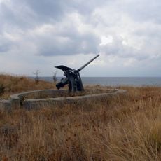
Angelochori Fortress
18.4 km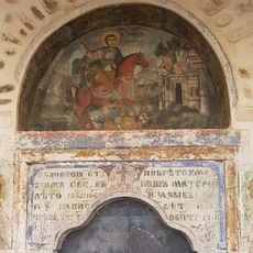
Church of Agios Dimitrios, Diavata
23.7 km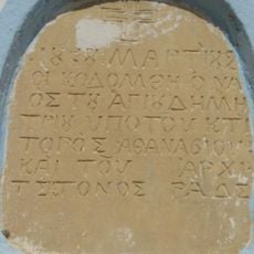
Ι. Ναός Αγίου Δημητρίου
15.5 km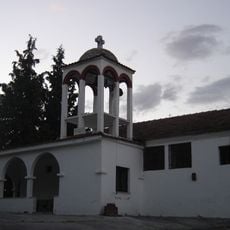
Свети Георги
9.5 km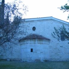
Church of Agios Athanasios, Koufalia
23.4 km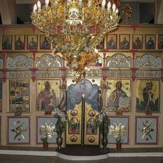
Свети Георги
17.2 km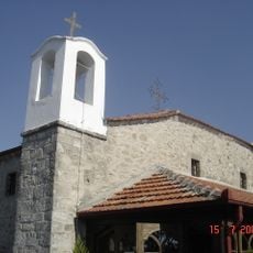
Ι. Ναός Αγίου Ηλία
18.7 km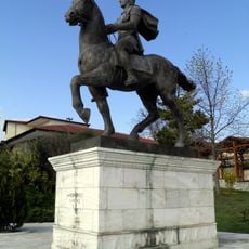
Equestrian statue of Alexander the Great (Pella)
22.2 km
Church of Agios Petros and Pavlou, Chalkidona
18 km
Villa Modiano, Topsin
18.4 kmReviews
Visited this place? Tap the stars to rate it and share your experience / photos with the community! Try now! You can cancel it anytime.
Discover hidden gems everywhere you go!
From secret cafés to breathtaking viewpoints, skip the crowded tourist spots and find places that match your style. Our app makes it easy with voice search, smart filtering, route optimization, and insider tips from travelers worldwide. Download now for the complete mobile experience.

A unique approach to discovering new places❞
— Le Figaro
All the places worth exploring❞
— France Info
A tailor-made excursion in just a few clicks❞
— 20 Minutes