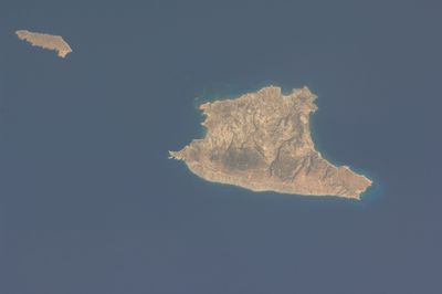
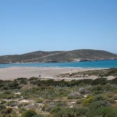
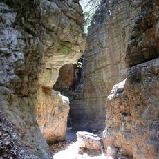
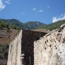
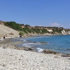
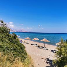
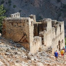
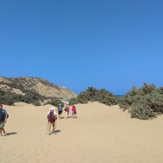
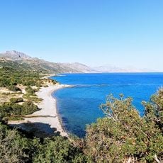
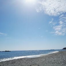
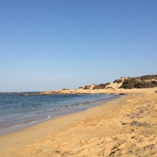
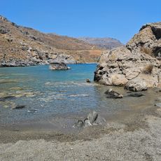
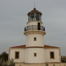
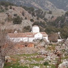
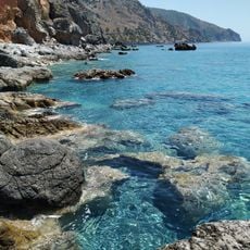
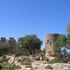
Gavdos Municipality, municipality south of Crete, Greece
Location: Chania Regional Unit
Website: https://gavdos.gr/
Website: https://gavdos.gr
GPS coordinates: 34.85000,24.08333
Latest update: May 8, 2025 00:59
Samariá Gorge National Park
48.2 km
Frangokastello
39.4 km
Prasonisi
2.7 km
Imbros Gorge
44.8 km
Samaria National Park
47.3 km
Souda
45.9 km
Aradaina Bridge
41.5 km
Kalypso Beach
46.1 km
Imbros Gorge
45.7 km
Orthi Ammos
40 km
Polyrizos Beach
42.5 km
Agia Roumeli Fort
44.2 km
Agios Ioannis nudist beach
2 km
Frangokastello (castle)
39.4 km
Aradena Gorge
39.3 km
Vatalos beach
39.8 km
Potamos nudist beach
2.2 km
Agia Marina Beach
41.3 km
Peristeres Beach
41.9 km
Lavrakas nudist beach
2.5 km
Stavri Beach
44.7 km
Gavdos lighthouse
2.6 km
Church of Michail Archangelou Aradenas
42.2 km
Tripiti
47.1 km
Koules of Loutros
38.7 km
Aradena Path
41.7 km
Mikros Koules of Loutros
40.3 km
Moni Agiou Charalambou
39.6 kmReviews
Visited this place? Tap the stars to rate it and share your experience / photos with the community! Try now! You can cancel it anytime.
Discover hidden gems everywhere you go!
From secret cafés to breathtaking viewpoints, skip the crowded tourist spots and find places that match your style. Our app makes it easy with voice search, smart filtering, route optimization, and insider tips from travelers worldwide. Download now for the complete mobile experience.
A unique approach to discovering new places❞
— Le Figaro
All the places worth exploring❞
— France Info
A tailor-made excursion in just a few clicks❞
— 20 Minutes