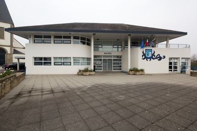
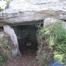
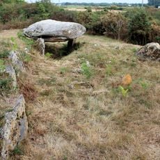
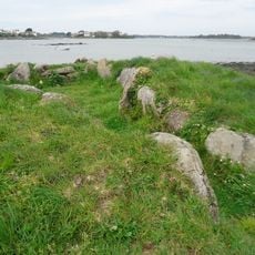
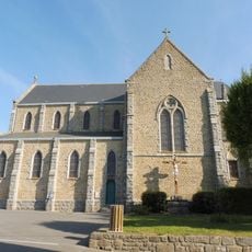
Étel, commune in Morbihan, France
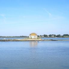
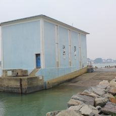
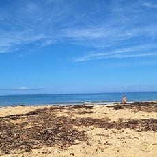
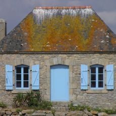
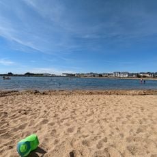
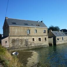
Étel is a small coastal port town in southern Brittany where traditional fishing and the sea shape the streetscape and daily life. The settlement sits along a river mouth with working boats in the water, narrow lanes lined with weathered buildings, and a functioning harbor where fishing vessels and leisure boats still operate.
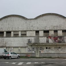
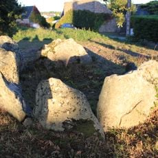
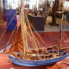
Étel became a major tuna fishing port from the 19th century onward, with specialized dundee boats departing for the waters and local canneries processing the catch. A 1939 ice factory and the historic lifeboat station building survive today as physical reminders of this maritime era.
Étel's identity is rooted in fishing traditions, particularly tuna fishing, which still shapes local celebrations and daily rhythms. The harbor and surrounding waterfront reflect this heritage through working boats, family-run seafood businesses, and the annual Tuna Festival, where locals and visitors gather to honor the fishing past with music, food, and shared stories.
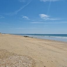
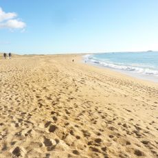
The harbor and waterfront paths are easily accessible on foot or by bicycle through paved streets and walking trails. Summer boat services depart from the dock for scenic river cruises and trips to viewpoints like Mât Fenoux, while local fishing guides offer beginner-friendly outings on the water.
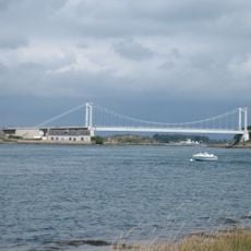
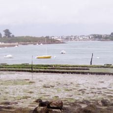
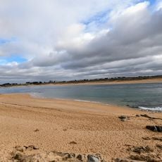
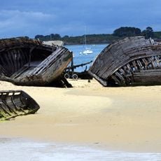
The Barre d'Étel is a constantly shifting sandbank at the river mouth that creates dangerous passage conditions for sailboats and is monitored by a semaphore signal. This natural phenomenon offers onshore observers a dramatic display as vessels navigate the treacherous waters.
The community of curious travelers
AroundUs brings together thousands of curated places, local tips, and hidden gems, enriched daily by 60,000 contributors worldwide.