Enable Location

We need your location to show you interesting places around you

Discover nearby places

Find interesting locations and hidden gems around you

Precise directions

Get accurate directions and distances to places

Your location is never shared with other users. It's only used when you tap the location button.

Moulins

Log in to your account

Start exploring — it's free

Trusted by 61,617 travelers worldwide

Continue with Google
Continue with Apple
or

We will send you a code to connect

By continuing, you accept our Terms and Conditions and our Privacy Policy

Check your inbox

We've sent a pincode in your inbox. Please enter the code below.

Moulins, Administrative center in Allier, France.

Description

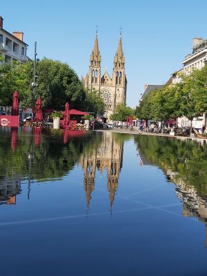
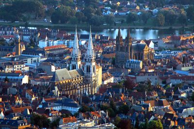
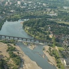
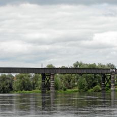
Moulins is a town on the banks of the Allier in central France that serves as the administrative seat of the Allier department. The urban area spreads across both sides of the river with several bridges connecting the neighborhoods and offering views across the flat valley around.

History

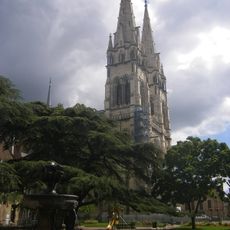
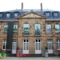
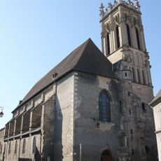
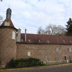
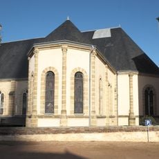
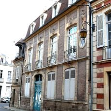
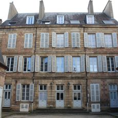
A settlement arose here in the 10th century and later became the capital of the historic Bourbonnais province. The town experienced its golden age under the rule of the Dukes of Bourbon, who held court here and built churches and residences.

Culture

The name comes from the watermills that once lined the riverbank and shaped the town's early life. Today the stone bridges crossing the Allier connect the old center with the newer districts and form a popular walking route along the water.

Practical

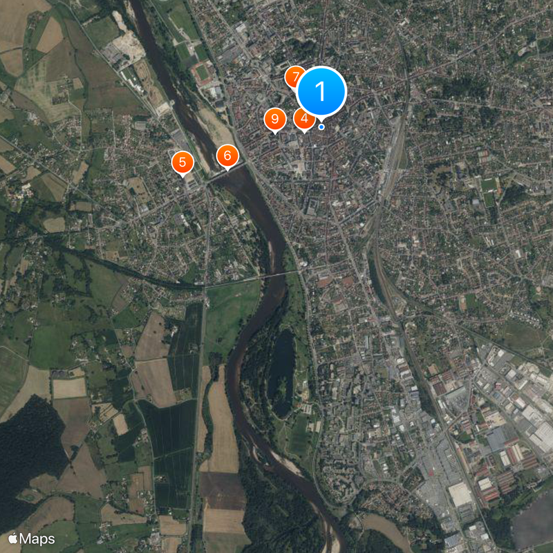
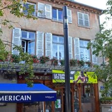
The train station sits close to the town center and offers connections in several directions, while the motorway runs a few kilometers away. Most sights and shops are located in the center and are easy to reach on foot.

Did you know?

A young girl named Gabrielle Chanel spent her childhood here in an orphanage before becoming the world-famous fashion designer known as Coco Chanel. The town keeps this memory quietly, without large signs or museums pointing to that early period.

Location
Location
communauté d'agglomération de Moulins
Elevation above the sea
214 m
Shares border with
Avermes, Bressolles, Neuvy, Toulon-sur-Allier, Yzeure
Address
03000 Moulins, France
Phone
GPS coordinates
46.56472,3.33250
Latest update
December 15, 2025 09:03

AroundUs brings together thousands of curated places, local tips, and hidden gems, enriched daily by 60,000 contributors worldwide. Discover all places nearby (Allier).

« Moulins - Administrative center in Allier, France » is provided by Around Us (aroundus.com). Images and texts are derived from Wikimedia project under a Creative Commons license. You are allowed to copy, distribute, and modify copies of this page, under the conditions set by the license, as long as this note is clearly visible.

Discover hidden gems everywhere you go!

From secret cafés to breathtaking viewpoints, skip the crowded tourist spots and find places that match your style. Our app makes it easy with voice search, smart filtering, route optimization, and insider tips from travelers worldwide. Download now for the complete mobile experience.

Around Us App Screenshot

A unique approach to discovering new places

Le Figaro

All the places worth exploring

France Info

A tailor-made excursion in just a few clicks

20 Minutes

Around Us
Travel Guide & Maps
Download

Send to your phone

QR Code
1

Open the camera app on your mobile.

2

Point at the QR code with your camera. A notification will appear.

3

Tap the notification to open the link.