Eyrieux, River system in Ardèche, France.
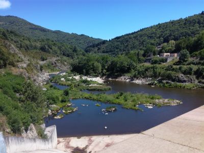
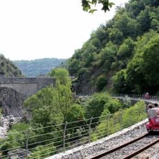
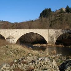
The Eyrieux is a river that winds for approximately 80 kilometers through the Ardèche department, flowing from the highlands of the Massif Central to meet the Rhône downstream of Valence. The waterway connects different regions and carries substantial water volume year-round.
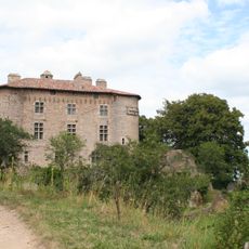
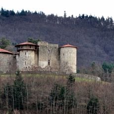
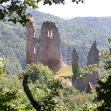
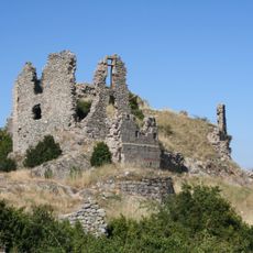
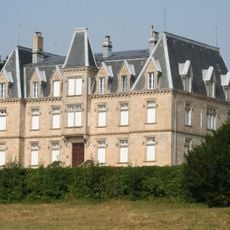
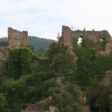
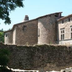
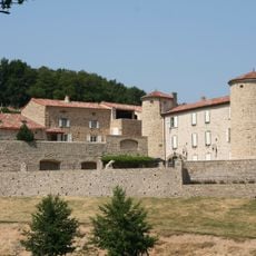
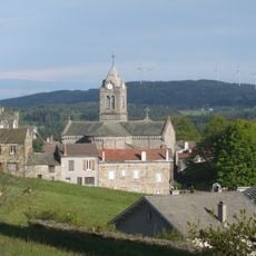
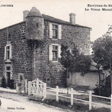
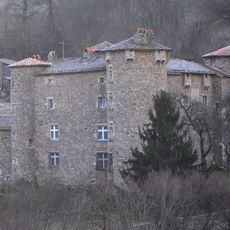
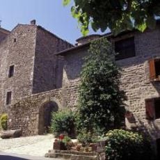
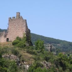
The river served as a crucial power source during industrial times, driving numerous mills and factories that processed silk and other goods. This period of economic growth left its mark on the settlements that developed along its course.
Local communities celebrate their connection to the water through seasonal gatherings and outdoor pursuits that mark the rhythm of life along its banks. People here have long organized their activities and social rhythms around the river's presence and flow.
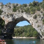
The river is served by multiple launch points for canoeists and paddlers, making it accessible for water-based exploration along its length. Banks are reachable at many locations, though checking local conditions before visiting is advisable for safety and planning.
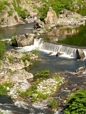
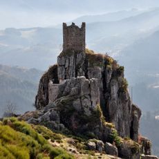
The river passes through three distinctly different landscapes on its journey, each with its own character and type of surroundings. Most striking is the wild middle section with turbulent waters alongside lower reaches where fruit farms occupy the flatter terrain.
The community of curious travelers
AroundUs brings together thousands of curated places, local tips, and hidden gems, enriched daily by 60,000 contributors worldwide.