Nérac

Log in to your account

AroundUs is a community-driven map of interesting places, built by curious explorers like you. It grows with every review, story, and photo you share.
Connect to save your favorite spots, contribute locations, and create personalized routes.
Continue with Google
Continue with Apple
Continue with X
Continue with Facebook
Continue with email
By continuing, you accept our Terms and Conditions and our Privacy Policy
Create an account
Add to collection
Map
Suggest a change
Share

Nérac, Administrative division in Lot-et-Garonne, France

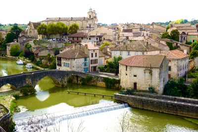
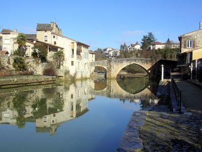
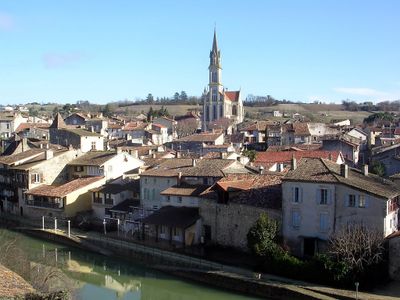
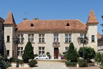
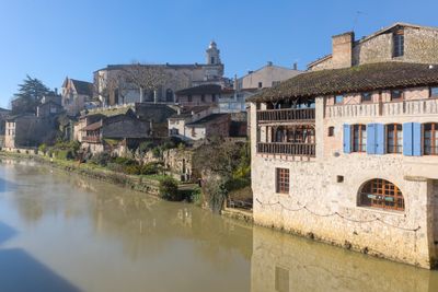
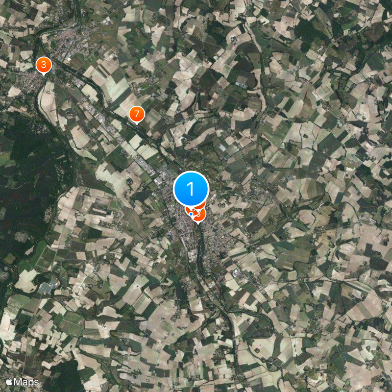
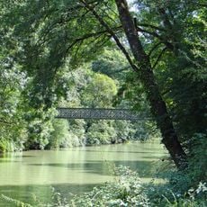
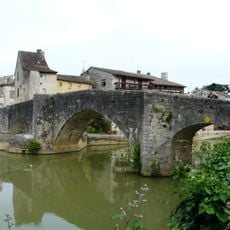
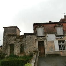
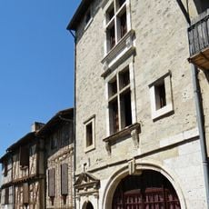
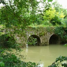
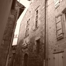
Nérac is a commune and subprefecture in Lot-et-Garonne in southwestern France with residential neighborhoods and a town center. The town sits beside the Baise River and connects to surrounding rural communes that form the wider administrative territory.

The administrative region was formed in 1800, discontinued in 1926, and reestablished in 1942 through changing French government policies. These shifts shaped how the communes are organized today and their relationship to the wider prefecture system.

The Saturday morning market in town draws locals and visitors with regional foods and handmade goods. Markets across the area reflect the food culture that shapes how people here live and gather together.

Walking is the best way to explore the town and reach the riverside areas from the center where most facilities are close together. The Saturday morning market makes for a good time to visit when activity is at its peak.

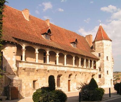
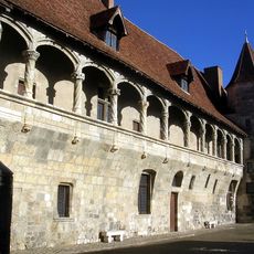
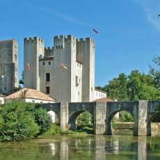
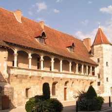
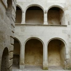
Château Henry IV with its round tower and arcaded balconies overlooks the Baise River and is easily missed by visitors despite being a defining feature of the riverside landscape. The building shows Renaissance influences that give the location its distinct character.

Location: canton of Nérac

Location: Lot-et-Garonne

Location: arrondissement of Nérac

Elevation above the sea: 103 m

Shares border with: Feugarolles, Andiran, Barbaste, Calignac, Espiens, Fieux, Fréchou, Lasserre, Lavardac, Réaup-Lisse

Address: 47600 Nérac, France

Phone: +33553976353

Email: mairie.nerac@ville-nerac.fr

Website: https://nerac.fr

GPS coordinates: 44.13611,0.33944

Latest update: December 14, 2025 20:22

Photos
Reviews

Visited this place? Tap the stars to rate it and share your experience / photos with the community! Try now! You can cancel it anytime.

« Nérac - Administrative division in Lot-et-Garonne, France » is provided by Around Us (aroundus.com). Images and texts are derived from Wikimedia project under a Creative Commons license. You are allowed to copy, distribute, and modify copies of this page, under the conditions set by the license, as long as this note is clearly visible.

Discover hidden gems everywhere you go!

From secret cafés to breathtaking viewpoints, skip the crowded tourist spots and find places that match your style. Our app makes it easy with voice search, smart filtering, route optimization, and insider tips from travelers worldwide. Download now for the complete mobile experience.

Around Us App Screenshot

A unique approach to discovering new places

Le Figaro

All the places worth exploring

France Info

A tailor-made excursion in just a few clicks

20 Minutes