Enable Location

We need your location to show you interesting places around you

Discover nearby places

Find interesting locations and hidden gems around you

Precise directions

Get accurate directions and distances to places

Your location is never shared with other users. It's only used when you tap the location button.

Thiers

Log in to your account

Start exploring — it's free

Trusted by 62,563 travelers worldwide

Continue with Google
Continue with Apple
or

We will send you a code to connect

By continuing, you accept our Terms and Conditions and our Privacy Policy

Check your inbox

We've sent a pincode in your inbox. Please enter the code below.

Thiers, Administrative district in Puy-de-Dôme, France

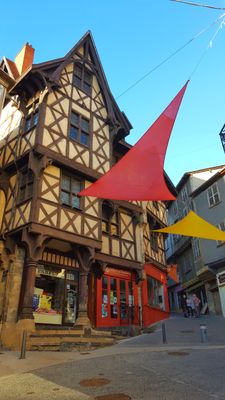
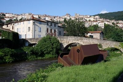
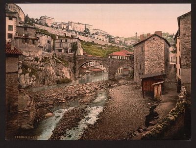
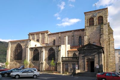
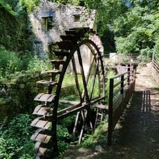
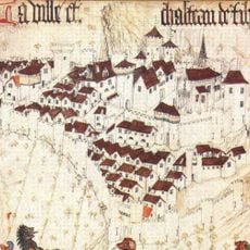
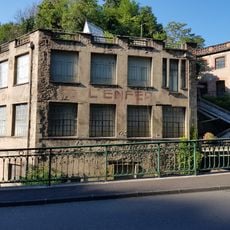
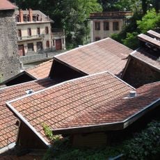
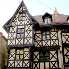
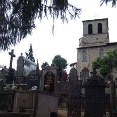
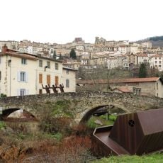
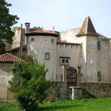
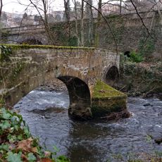
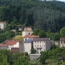
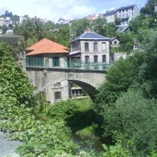
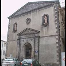
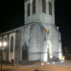
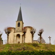
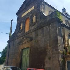
Thiers is a town in the Auvergne region that sits on a rocky slope overlooking the Durolle River valley, shaped by steep streets and historic architecture. The old town features narrow lanes and medieval buildings where craft workshops sit alongside homes.

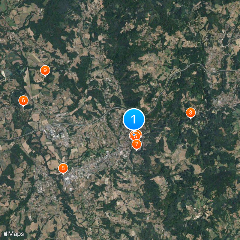
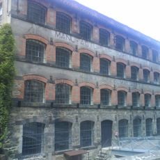
The settlement began in the 10th century with a castle and church that gave the town initial importance. Knife-making later became the dominant craft, establishing the town as a known production center for centuries.

The knife-making craft runs deep through daily life and shapes how locals see themselves and their community. This heritage appears in workshops throughout town and in how people talk about their work.

The town is walkable but many streets are steep, so plan accordingly for the slope. Sturdy shoes are helpful since you will likely climb and descend throughout your visit.

Many workshops remain family-run and work in traditional ways despite using modern tools. Visitors often see doors left open, offering glimpses of craftspeople at work inside.

The community of curious travelers

AroundUs brings together thousands of curated places, local tips, and hidden gems, enriched daily by 60,000 contributors worldwide.

Start exploring
Location
Elevation above the sea
451 m
Shares border with
Vichy, Celles-sur-Durolle, Dorat, Escoutoux, La Monnerie-le-Montel, Orléat, Paslières, Peschadoires, Saint-Rémy-sur-Durolle
Phone
GPS coordinates
45.85639,3.54750
Latest update
December 14, 2025 21:02
« Thiers - Administrative district in Puy-de-Dôme, France » is provided by Around Us (aroundus.com). Images and texts are derived from Wikimedia project under a Creative Commons license. You are allowed to copy, distribute, and modify copies of this page, under the conditions set by the license, as long as this note is clearly visible.

Discover hidden gems everywhere you go!

From secret cafés to breathtaking viewpoints, skip the crowded tourist spots and find places that match your style. Our app makes it easy with voice search, smart filtering, route optimization, and insider tips from travelers worldwide. Download now for the complete mobile experience.

Around Us App Screenshot

A unique approach to discovering new places

Le Figaro

All the places worth exploring

France Info

A tailor-made excursion in just a few clicks

20 Minutes

Around Us
Travel Guide & Maps
Download

Send to your phone

QR Code
1

Open the camera app on your mobile.

2

Point at the QR code with your camera. A notification will appear.

3

Tap the notification to open the link.