Métabief, commune in Doubs, France
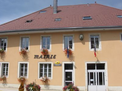
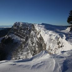
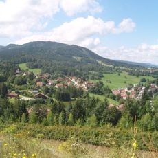
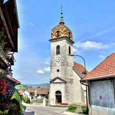
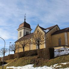
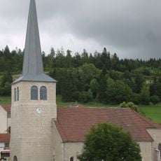
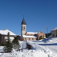
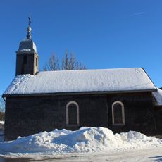
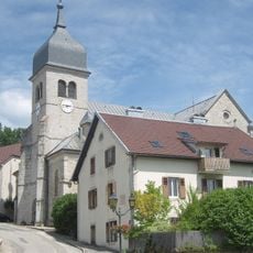
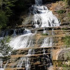
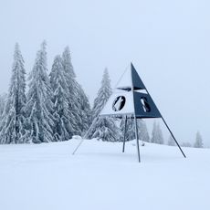
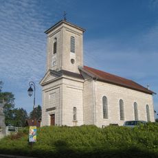
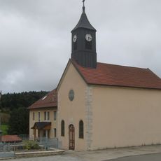
Métabief is a small town in the Doubs department situated in the Jura mountain region at about 3,200 feet (970 meters) elevation. The main street runs through the center where the town hall and local shops are located, surrounded by forests and rolling countryside.
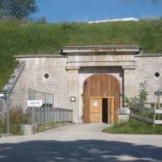
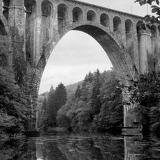
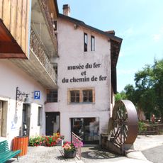
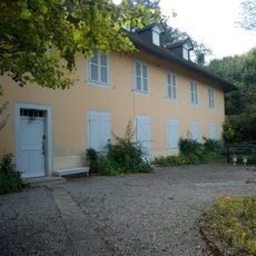
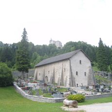
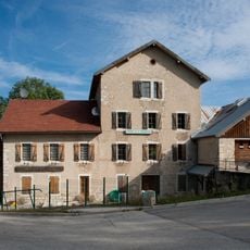
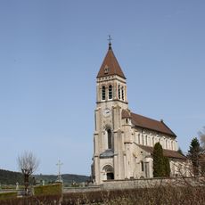
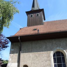
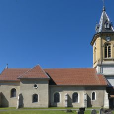
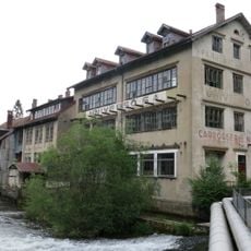
This region has been inhabited for a long time and served as a passage route through the mountains for travelers and local people. A distinctive communal factory built in the 19th century remains an important heritage building in the town today.
The inhabitants of this small town are known locally as the Grey Cats, a name reflecting the place's mountain character. Traditional regional products like Morteau sausage and Mont d'Or cheese shape what people eat and celebrate together during local markets and seasonal gatherings.
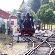
A car is the best way to reach and get around; the drive from Paris or Lyon takes about 4 or 2.5 hours respectively. A small nearby train station and airports in Geneva or Lausanne offer alternatives, though most visitors arrive by car for easier access to the surrounding countryside.
The population has doubled since the late 1990s, which is striking for a small mountain town. This growth shows how the place has become a refuge for people seeking mountain air and rural peace away from busier areas.
The community of curious travelers
AroundUs brings together thousands of curated places, local tips, and hidden gems, enriched daily by 60,000 contributors worldwide.