Saint-Raphaël, Mediterranean coastal commune in Var, France
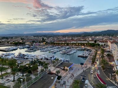
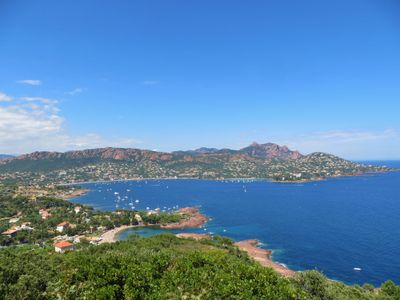
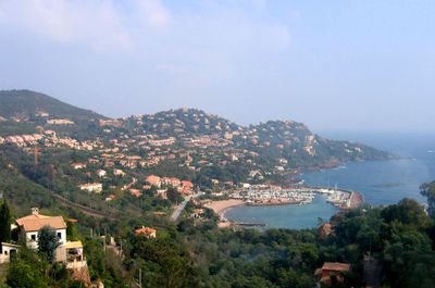
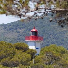
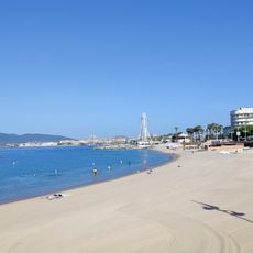
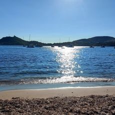
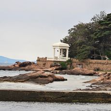
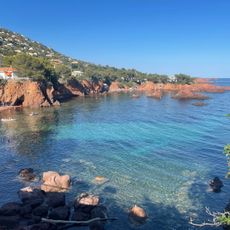
Saint-Raphaël is a coastal commune in the Var department of the Provence-Alpes-Côte d'Azur region, stretching along 36 kilometers (22 miles) of Mediterranean shoreline. The commune includes several beaches, three harbors, and different neighborhoods between the Estérel and Maures massifs.
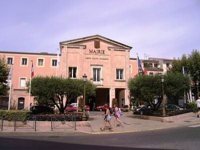
The town grew from a small fishing village that was transformed into a seaside resort during the 19th century by mayor Félix Martin and writer Jean-Baptiste Alphonse Karr. The railway reached the area in 1863, opening it to travelers from across Europe.
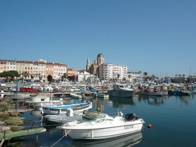
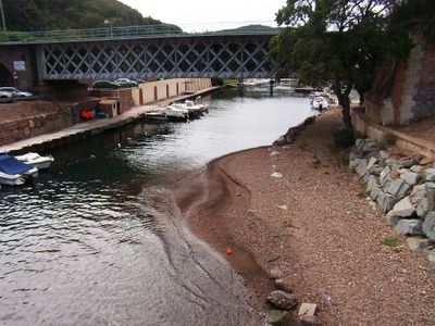
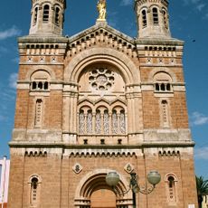
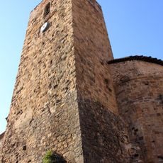
The name comes from Saint Raphael, patron of travelers, reflecting the town's long connection to the sea. The three harbors shape daily life, where fishing boats work alongside leisure craft and local traditions mix with tourism.
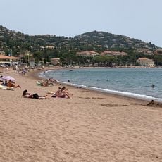
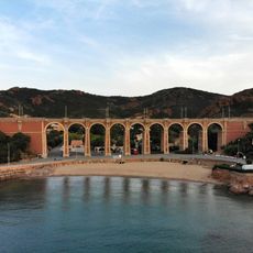
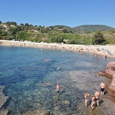
The train station at Saint-Raphaël-Valescure connects the town to Paris through high-speed trains and to regional destinations through local services. The beaches spread along the entire coastline, with sandy stretches in the west and rockier coves toward the east.
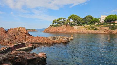
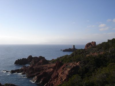
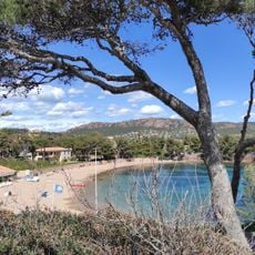
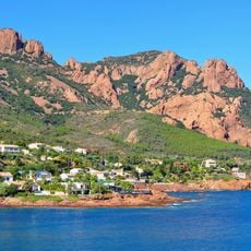
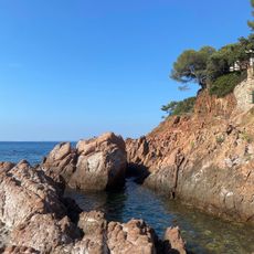
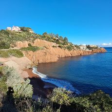
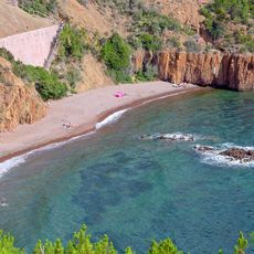
The village of Agay in the eastern section keeps its own character, with red rocks from the Estérel massif dropping straight into the sea. The Île d'Or in the western part inspired Hergé's comic The Black Island from the Tintin series.
Location: Var
Location: arrondissement of Draguignan
Elevation above the sea: 127 m
Shares border with: Mandelieu-la-Napoule, Théoule-sur-Mer, Fréjus
Address: 570 All. de la Pointe des Moines, 83700 Saint-Raphaël, France
Phone: +33494821500
Email: monsieurlemaire@ville-saintraphael.fr
Website: http://ville-saintraphael.fr
GPS coordinates: 43.42472,6.76778
Latest update: December 13, 2025 18:17
Mont Vinaigre
9.7 kmMusée Louis-de-Funès
212 m
Basilique Notre-Dame-de-la-Victoire
240 m
Pic de l'Ours
12.5 km
Chapelle Notre-Dame-de-Jérusalem de Fréjus
5.1 km
Plage du Casino
369 mMusée d'Histoire, de Préhistoire et d'Archéologie sous marine de Saint-Raphaël
185 m
Église Saint-Raphaël
184 mPhare d'Agay
8.3 km
Nécropole nationale de Boulouris
4.5 km
Plage Veillat
434 m
Temple réformé de Saint-Raphaël
777 m
Menhir d'Aire-Peyronne
5.5 km
Plage de la Beaumette
8.3 km
Plage d'Agay
7.7 km
Plage de Camp-Long
7.3 km
Viaduct of Anthéor
10.1 km
Menhirs de Veyssières
5.7 km
Arboretum du Plan Esterel
8.8 kmDolmen de Valescure
3.5 km
Golf Ésterel Latitude
3.1 km
Golf de Valescure
4.2 km
Plage de Santa-Lucia
2.3 km
Plage de la Pescade
3.9 km
Plage Abel Ballif
14.3 km
Plage du Pourrousset
7.2 km
Calanque de Maubois
12.8 km
Plage Des Anglais
9.1 kmVisited this place? Tap the stars to rate it and share your experience / photos with the community! Try now! You can cancel it anytime.
Discover hidden gems everywhere you go!
From secret cafés to breathtaking viewpoints, skip the crowded tourist spots and find places that match your style. Our app makes it easy with voice search, smart filtering, route optimization, and insider tips from travelers worldwide. Download now for the complete mobile experience.
A unique approach to discovering new places❞
— Le Figaro
All the places worth exploring❞
— France Info
A tailor-made excursion in just a few clicks❞
— 20 Minutes