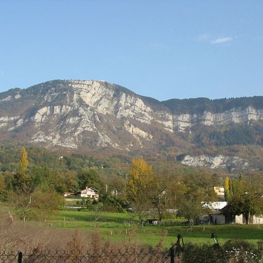
Mont Revard, Mountain in Savoie, France
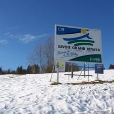
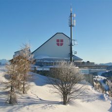
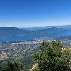
Mont Revard is a mountain in the Bauges Massif of Savoie whose highest point, the tour de l'Angle Est, reaches 1,563 m. Its upper part is a plateau of Urgonian limestone, and the western cliffs above the Aix-les-Bains basin expose Fontanil limestone folded into two anticlines. The D913 road crosses the mountain, and the Savoie Grand Revard nordic ski area lies on the plateau.
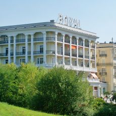
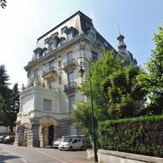
Tourism on Mont Revard grew strongly from the 19th century, when Aix-les-Bains became a leading spa town and its visitors came up to the plateau in summer. The Tour de France used the ski resort of Le Revard as a stage finish in 1965, in a mountain time trial won by Felice Gimondi, and again in 1972. The race returned in 1991 and in 1998, though that stage was cancelled after the Festina affair; in 2013 it crossed the D913 pass at 1,463 m on the penultimate stage.
The name Revard settled only in the 20th century; earlier documents call the mountain Reva (1494), Mont Rival, Mont-d'Azy and cime du Revers (1855). Since the 19th century, visitors from the spa town of Aix-les-Bains have come up in summer, and the plateau now holds the tourist services of the Savoie Grand Revard Nordic ski area, shared with La Féclaz and Saint-François-de-Sales.
The D913, the so-called route du Revard, climbs from the Aix-les-Bains plain through Mouxy, Pugny-Chatenod and Trévignin to the summit, then descends toward Les Déserts. Bus lines link the mountain to the Aix valley, with more service in winter and summer. By road the summit lies 20 km from Aix-les-Bains and 27 km from Chambéry.
The limestone plateau holds pit caves called "tannes", linked to the Garde-Cavale network, of which more than 50 km have been explored. Its waters, flowing at 14 to 7,000 litres per second, emerge at the Doria cave, visible from Chambéry.
The community of curious travelers
AroundUs brings together thousands of curated places, local tips, and hidden gems, enriched daily by 93,339 contributors worldwide.