
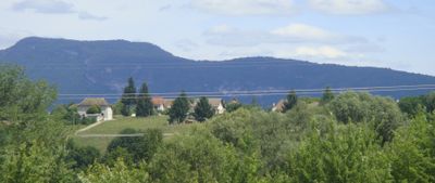
Les Avenières, former commune in Isère, France
Location: Isère
Location: arrondissement of la Tour-du-Pin
Elevation above the sea: 225 m
Shares border with: Brégnier-Cordon, Saint-Benoît
Website: http://lesavenieres.fr
GPS coordinates: 45.63583,5.56333
Latest update: June 5, 2025 00:26

Walibi Rhône-Alpes
1.7 km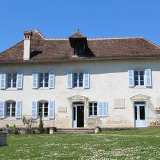
Maison d'Izieu--Mémorial des enfants juifs exterminés
5.6 km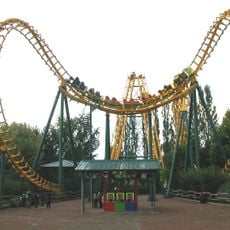
Boomerang
1.6 km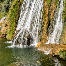
Glandieu Fall
5.1 km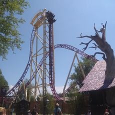
Mystic
1.9 km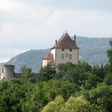
Château de la Barre
4.6 km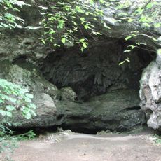
Grotte de la Bonne-Femme
5.3 km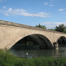
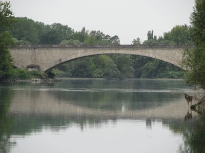
Pont d'Évieu
4 km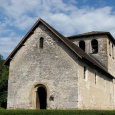
Église Saint-Didier d'Aoste
4.3 km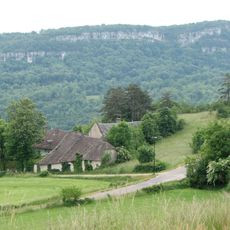
Mont de Cordon
4.9 km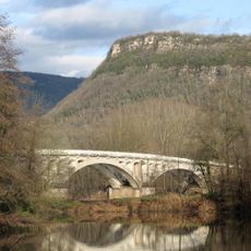
Pont de Cordon
4.7 km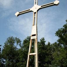
Croix de Saint-Clair
5.3 km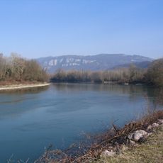
Rhône du Pont de Groslée à Murs-et-Gélignieux
5.3 km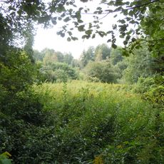
Zone humide de Corbelin
2.9 km
Generator
1.6 km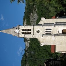
Église Saint-Jean-Baptiste de Brégnier-Cordon
4.6 km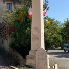
Monument to the Children of Izieu in Brégnier-Cordon
5 km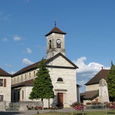
Église Saint-Julien du Bouchage
4.9 km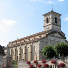
Église Saints-Pierre-et-Paul des Avenières
96 m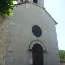
Église Saint-Jean-l'Évangéliste de Veyrins
2.3 km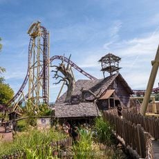
Mystic
1.9 km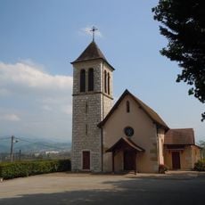
Église Saint-Blaise de Granieu
4.4 km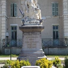
War memorial of Brégnier-Cordon
4.6 km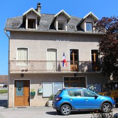
Town hall of Brégnier-Cordon
4.6 km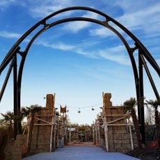
Mahuka
1.7 km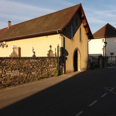
Chapelle non consacrée de Dolomieu
5.7 km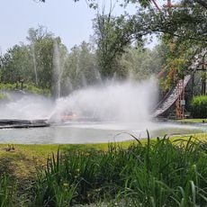
Bambooz River
1.9 km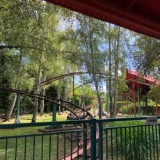
La Coccinelle
1.6 kmVisited this place? Tap the stars to rate it and share your experience / photos with the community! Try now! You can cancel it anytime.
Discover hidden gems everywhere you go!
From secret cafés to breathtaking viewpoints, skip the crowded tourist spots and find places that match your style. Our app makes it easy with voice search, smart filtering, route optimization, and insider tips from travelers worldwide. Download now for the complete mobile experience.

A unique approach to discovering new places❞
— Le Figaro
All the places worth exploring❞
— France Info
A tailor-made excursion in just a few clicks❞
— 20 Minutes