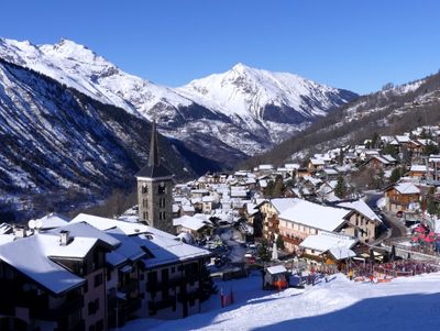
Saint-Martin-de-Belleville, Administrative division in Les Belleville, France
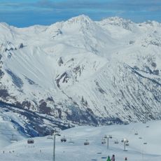
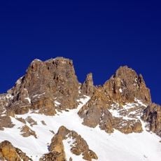
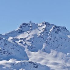
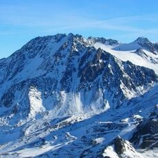
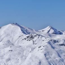
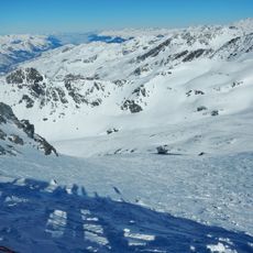
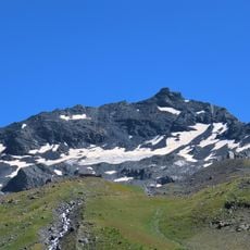
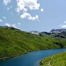
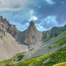
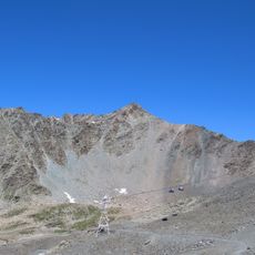
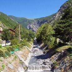
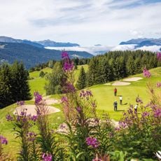
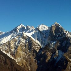
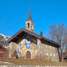
Saint-Martin-de-Belleville is a mountain settlement in the French Alpine region of Savoie that spans considerable elevation ranges. The village sits in a valley with steep slopes and provides access to different altitude zones from the valley floor to higher mountain areas.
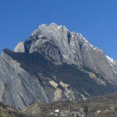
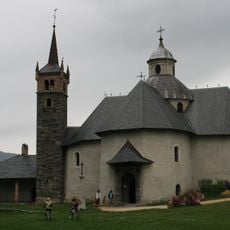
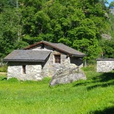
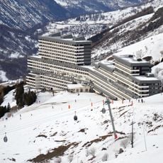
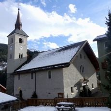
The settlement developed as an alpine mountain community over centuries through traditional mountain economy. In 2016, the municipality merged administratively with other villages in the region to form a new administrative unit.
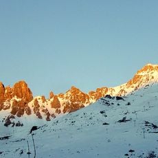
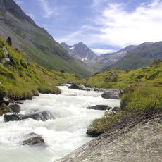
The valley takes its name from its shape and geographic position, shaped by residents over generations. Local people have maintained their traditions around mountain life and the seasonal rhythms of living in the Alps.
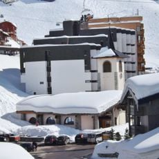
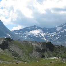
The settlement sits in a mountain valley and is accessible by roads connecting different elevation zones. Visitors should prepare for changing weather conditions that vary depending on season and altitude.
The valley is home to a renowned gourmet restaurant that ranks among France's highest-rated dining destinations. This establishment draws food enthusiasts from around the world despite its remote mountain location.
Location: Savoie
Location: arrondissement of Albertville
Elevation above the sea: 2,140 m
Part of: Les 3 Vallées
Shares border with: Fontaine-le-Puits, Villarlurin, Les Allues, Modane, Orelle, Saint-Michel-de-Maurienne, Saint-Martin-de-la-Porte, Saint-Julien-Mont-Denis, Hermillon, Saint-Jean-de-Belleville
Website: http://mairie-smb.com
GPS coordinates: 45.38028,6.50444
Latest update: December 7, 2025 19:22
Les 3 Vallées
8.2 km
Dent de Burgin
8 km
Cime de Caron
13.8 km
Aiguille de Péclet
14.5 km
Sommet de la Saulire
8.2 km
Glacier de Péclet
13.6 km
Croix des Têtes
13.5 km
Les Trois Vallées
9.1 km
Pointe de la Masse
9.2 km
Réserve naturelle nationale du Plan de Tuéda
9.1 km
Glacier du Bouchet
15.6 km
Chapelle Notre-Dame-de-la-Vie de Saint-Martin-de-Belleville
807 m
Pointe de Thorens
15.2 km
Glacier de Chavière
15.6 km
Mont Brequin
14.5 km
Pointe Émilienne
9.4 km
Moulin du Burdin
2.7 km
Mont du Borgne
12 km
Ravin Saint-Julien
9 km
Brelin
6.7 km
Espace Maurice Romanet
6.9 km
La Forêt des Aventuriers
533 m
Golf de Méribel
6.7 km
Église Saint-Martin des Allues
7 km
Grand Perron des Encombres
10.2 km
Chapelle Notre-Dame-des-Neiges de Val-Thorens
11.1 km
Chapelle Notre-Dame-des-Neiges du Musillon
5.2 km
Glacier de Thorens
13.5 kmVisited this place? Tap the stars to rate it and share your experience / photos with the community! Try now! You can cancel it anytime.
Discover hidden gems everywhere you go!
From secret cafés to breathtaking viewpoints, skip the crowded tourist spots and find places that match your style. Our app makes it easy with voice search, smart filtering, route optimization, and insider tips from travelers worldwide. Download now for the complete mobile experience.
A unique approach to discovering new places❞
— Le Figaro
All the places worth exploring❞
— France Info
A tailor-made excursion in just a few clicks❞
— 20 Minutes