Enable Location

We need your location to show you interesting places around you

Discover nearby places

Find interesting locations and hidden gems around you

Precise directions

Get accurate directions and distances to places

Your location is never shared with other users. It's only used when you tap the location button.

Le Cannet-des-Maures

Log in to your account

Start exploring — it's free

Trusted by 63,927 travelers worldwide

Continue with Google
Continue with Apple
or

We will send you a code to connect

By continuing, you accept our Terms and Conditions and our Privacy Policy

Check your inbox

We've sent a pincode in your inbox. Please enter the code below.

Le Cannet-des-Maures
Discussion Reviews 2 Photos
16.1k Popularity

Le Cannet-des-Maures, Administrative commune in Var department, France

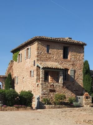
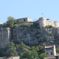
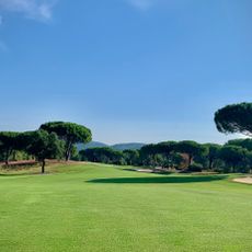
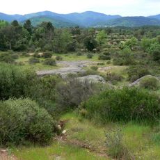
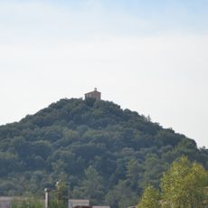
Le Cannet-des-Maures is a commune in the Var department in southeastern France, covering terrain with hills and forested areas across the region. The land varies between open spaces and denser woodland, creating a mixed landscape typical of this part of Provence.

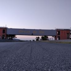
The settlement's name changed from Cannet to Le Cannet following the French Revolution, reflecting the political shifts of that era. The local airfield came under attack by Italian fighters in 1940, marking the area's experience during World War II.

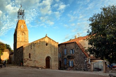
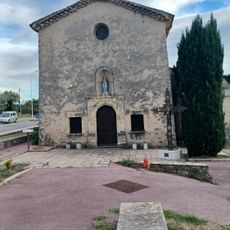
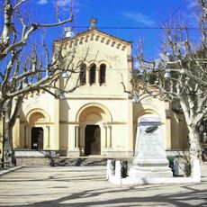
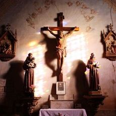
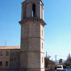
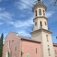
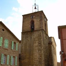
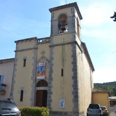
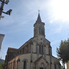
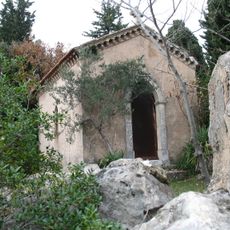
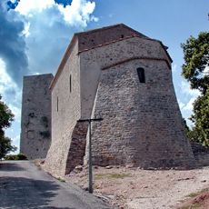
The Church of Saint-Michel stands in the central square and serves as a gathering place where locals and visitors encounter community celebrations and religious observances.

The commune connects to nearby towns through a well-developed road network and functions as a local administrative center. Visitors can find the essential services and facilities needed for daily life and administrative matters in the area.

The area is home to a historic airfield that saw decades of flight activity before becoming quiet. This aviation heritage remains visible to curious visitors and recalls a lesser-known chapter of local history.

The community of curious travelers

AroundUs brings together thousands of curated places, local tips, and hidden gems, enriched daily by 60,000 contributors worldwide.

Start exploring
Location
Var
Industry
administration publique générale
Shares border with
Le Thoronet, La Garde-Freinet, Lorgues, Le Luc, Les Mayons, Vidauban
Address
83340 Le Cannet-des-Maures, France
Phone
GPS coordinates
43.39167,6.34083
Latest update
December 7, 2025 19:27
Reviews
Share your experience

No review yet

Discussions
Start a discussion...

No discussion yet

« Le Cannet-des-Maures - Administrative commune in Var department, France » is provided by Around Us (aroundus.com). Images and texts are derived from Wikimedia project under a Creative Commons license. You are allowed to copy, distribute, and modify copies of this page, under the conditions set by the license, as long as this note is clearly visible.

Discover hidden gems everywhere you go!

From secret cafés to breathtaking viewpoints, skip the crowded tourist spots and find places that match your style. Our app makes it easy with voice search, smart filtering, route optimization, and insider tips from travelers worldwide. Download now for the complete mobile experience.

Around Us App Screenshot

A unique approach to discovering new places

Le Figaro

All the places worth exploring

France Info

A tailor-made excursion in just a few clicks

20 Minutes

Around Us
Travel Guide & Maps
Download

Send to your phone

QR Code
1

Open the camera app on your mobile.

2

Point at the QR code with your camera. A notification will appear.

3

Tap the notification to open the link.