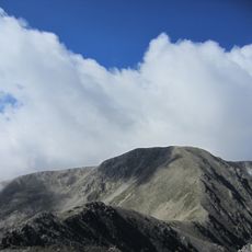
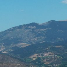
Puigpedrós, Mountain summit in Catalonia, Spain and Pyrénées-Orientales, France.
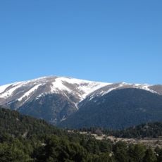
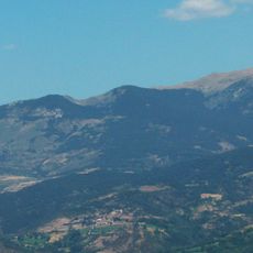
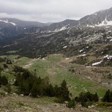
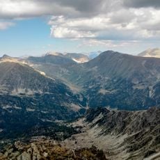
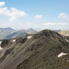
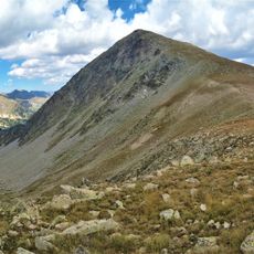
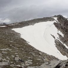
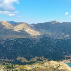
Puigpedrós is a mountain summit in the Pyrenees reaching 2,915 meters that marks the border between Catalonia and France. The peak consists of granodiorite, a hard crystalline rock that forms the distinctive rocky outcrops visible on its slopes.
The name Puigpedrós is the usual form on the southern slope, while the northern Catalan side calls the mountain Puig de Campcardós. According to Lluís Basseda, 'puig' denotes a rounded summit and 'pedrós' refers to the abundance of rocks on the upper part. Campcardós combines 'camp', for the wide plateau around the top, and 'cardós', for the thistles covering it in summer.
The mountain serves as a natural boundary connecting Catalan and French communities, marking a shared cultural identity rooted in the high Pyrenees. Locals view this place as a meeting point between two distinct regional traditions.
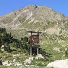
The usual route starts from the Malniu Refuge in Meranges and takes about three hours to the summit, on a well-marked path with no technical difficulty. The Feixa Refuge in Ger is an alternative starting point. The mountain is also a common destination for snowshoeing.
Near the summit stands a geodetic vertex of the Institut Cartogràfic i Geològic de Catalunya, reference 279073001, at 2,913.06 m. The summit is the highest point of the Girona comarques and of Baixa Cerdanya, ahead of the 2,904.9 m Tossa Plana de Lles.
The community of curious travelers
AroundUs brings together thousands of curated places, local tips, and hidden gems, enriched daily by 93,644 contributors worldwide.