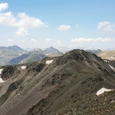
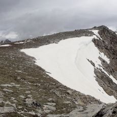
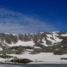
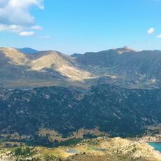
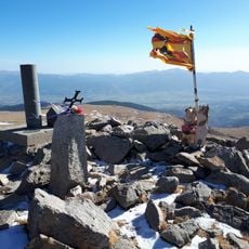
Pic de Fontfreda, Mountain summit in Porta, France
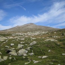
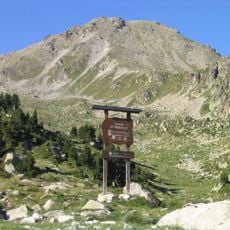
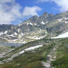
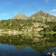
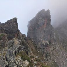
Pic de Fontfreda is a mountain in the commune of Porta, in Alta Cerdanya, northern Catalonia, reaching 2,736.4 metres. It lies in the northern part of the commune, west-northwest of the village of Porta, south of the Pic de l'Estanyol and northeast of the Pic de les Valletes.
The sources record no documented climbing history for Pic de Fontfreda. Its documented standing comes from the FEEC's 100 Cims list, which includes the 2,736.4-metre summit in the Porta municipality of Alta Cerdanya, in northern Catalonia. The peak lies south of the Pic de l'Estanyol and north-east of the Pic de les Valletes.
The peak is one of the 100 cims de la FEEC, a list of a hundred summits drawn up by the Federació d'Entitats Excursionistes de Catalunya. Its inclusion gives hikers in Alta Cerdanya and the neighbouring Guils de Cerdanya and Meranges a Catalan-side objective reached from the Porta valley.
The main hiking route departs from Porté-Puymorens and follows an established trail to the summit. This intermediate trek requires good fitness and an early start to allow sufficient time for the ascent and return.
The peak rises to 2,736.4 metres in the commune of Porta, in Alta Cerdanya, in northern Catalonia. It stands in the northern part of the commune, west-northwest of the village of Porta, south of the Pic de l'Estanyol and northeast of the Pic de les Valletes. It is a frequent destination for hiking routes from southern Porta and northern Guils de Cerdanya and Meranges.
The community of curious travelers
AroundUs brings together thousands of curated places, local tips, and hidden gems, enriched daily by 94,457 contributors worldwide.