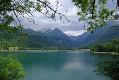
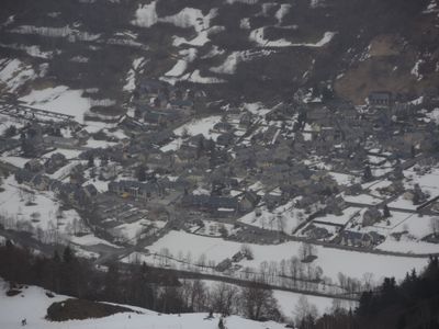
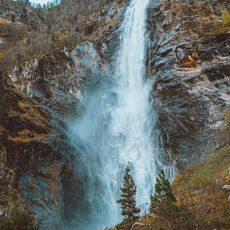
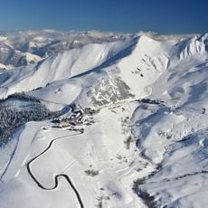
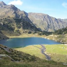
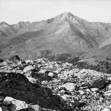
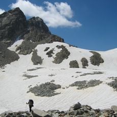
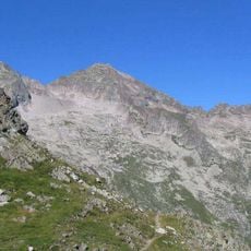
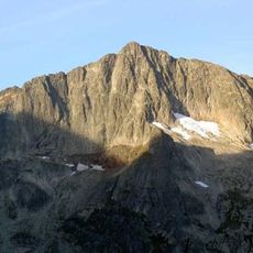
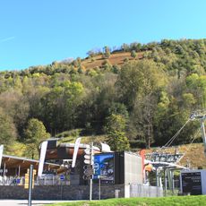
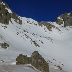
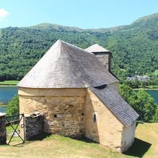
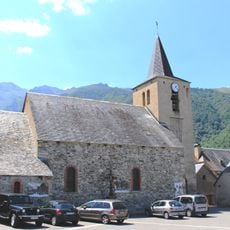
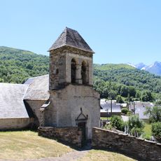
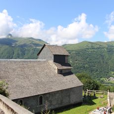
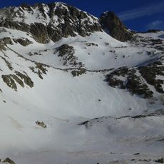
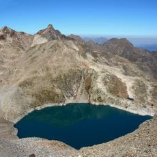
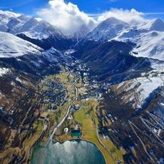
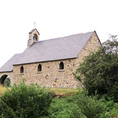
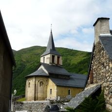
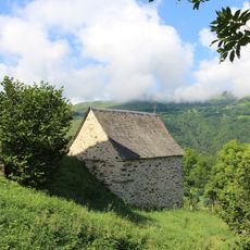
Loudenvielle, commune in Hautes-Pyrénées, France
Location: canton of Bordères-Louron
Location: Hautes-Pyrénées
Location: arrondissement of Bagnères-de-Bigorre
Elevation above the sea: 2,171 m
Shares border with: Oô, Génos, Germ, Loudervielle, Armenteule
GPS coordinates: 42.79611,0.41111
Latest update: May 28, 2025 10:15
Lac d'Oô
9.1 km
Peyragudes ski resort
2.9 km
Lac d'Espingo
10.2 km
Pic Schrader
10.9 km
Guargas Blancas
12 km
Grand Quayrat
12.5 km
Pic des Spijeoles
11.3 km
Skyvall
360 m
Église Saint-Barthélemy de Mont
2.6 km
Pic de Hourgade
7.6 km
Pico de Clarabide
12.2 km
Église Saint-Martin d'Aranvielle
1.1 km
Église Saint-Just-et-Saint-Pasteur de Loudenvielle
134 m
Église Saint-Felix d'Armenteule
2.3 km
Église de l'Invention-de-Saint-Étienne de Germ
1.2 km
Église Sainte-Marie-Madeleine
1.6 km
Punta Lourde Rocheblave
11.9 km
Punta del Sable
11.4 km
Ludéo
669 m
Cap Dera Baquo Occidental
13 km
Pic Jean Arlaud
12.2 km
Pic Gourdon
11.7 km
Ludic-park
583 m
Chapelle haute Notre-Dame d'Artiguelongue
3.2 km
Église Saint-Jacques
7.8 km
Chapelle des Loups de Loudenvielle
178 m
Chapelle Sainte-Marie-Madeleine de Loudervielle
1.3 km
Église Saint-Vincent de Génos
1.7 kmReviews
Visited this place? Tap the stars to rate it and share your experience / photos with the community! Try now! You can cancel it anytime.
Discover hidden gems everywhere you go!
From secret cafés to breathtaking viewpoints, skip the crowded tourist spots and find places that match your style. Our app makes it easy with voice search, smart filtering, route optimization, and insider tips from travelers worldwide. Download now for the complete mobile experience.
A unique approach to discovering new places❞
— Le Figaro
All the places worth exploring❞
— France Info
A tailor-made excursion in just a few clicks❞
— 20 Minutes