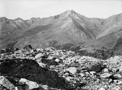
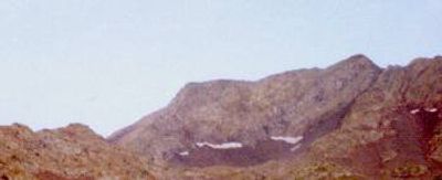
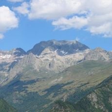
Pic Schrader, Mountain summit in Hautes-Pyrénées, France.
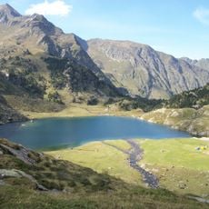
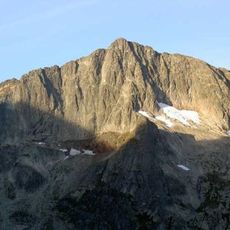
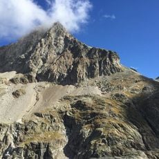
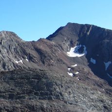
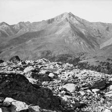
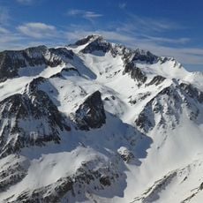
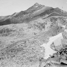
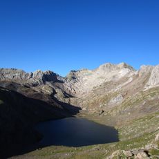
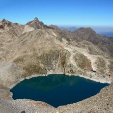
Pic Schrader is a mountain summit in the central Pyrenees rising to about 3177 meters at the border between France and Spain. Its slopes feature rocky faces, alpine meadows, and areas of permanent snow that characterize high mountain terrain.
The mountain received its French name in honor of Franz Schrader, a 19th-century geographer who extensively mapped the Pyrenees. This naming reflects the importance of scientific exploration during the period when borders between France and Spain were becoming firmly established.
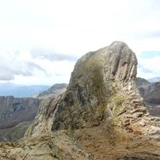
The peak carries the name Pic Schrader on the French side and Gran Bachimala on the Spanish side, reflecting the shared pastoral and mountain heritage of this border region. Both names remain deeply rooted in local identity and show how communities on each side connect through the mountains.
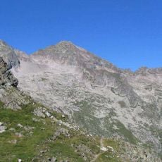
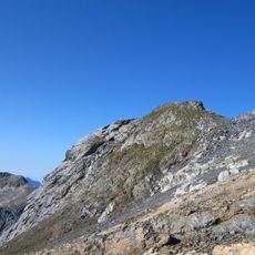
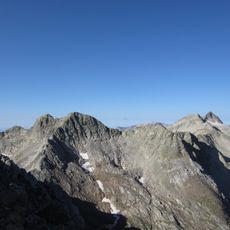
Multiple hiking routes lead to the summit from Gistaín in Spain and from the French side in Hautes-Pyrénées. Visitors attempting this climb should bring proper equipment, experience with high altitude, and clothing suitable for rapidly changing mountain weather.
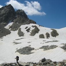
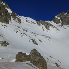
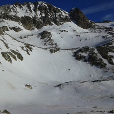
The peak contains small glaciers at high elevations, providing rare habitats for specialized plants and animals adapted to extreme cold. These frozen areas are gradually shrinking, reflecting how climate changes affect high mountain landscapes.
The community of curious travelers
AroundUs brings together thousands of curated places, local tips, and hidden gems, enriched daily by 60,000 contributors worldwide.