
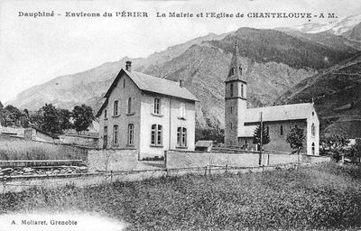
Chantelouve, commune in Isère, France
Location: canton of Valbonnais
Location: Isère
Location: arrondissement of Grenoble
Location: Chantepérier
Elevation above the sea: 1,813 m
Website: http://www.mairie-chantelouve.fr
Shares border with: Ornon, Villard-Notre-Dame, Villard-Reymond, Le Bourg-d'Oisans, Lavaldens, Le Périer
Website: http://mairie-chantelouve.fr
GPS coordinates: 44.98389,5.96833
Latest update: May 25, 2025 21:09
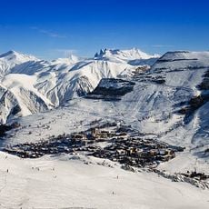
Les Deux Alpes
12.3 km
Le Taillefer
7.1 km
Lauvitel
8.2 km
Le Tabor
8.9 km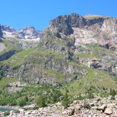
Le Rochail
5 km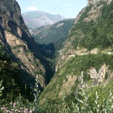
Gorges de l'Infernet
11.9 km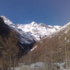
Réserve naturelle nationale de la haute vallée du Béranger
10.8 km
Pont des Fayettes
10.2 km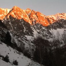
Le Grand Armet
2.7 km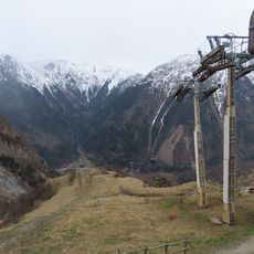
Télécabine de Venosc
11.6 km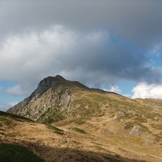
Grand Galbert
11.9 km
Porte romaine de Bons
12.5 km
Grand Glacier
2.5 km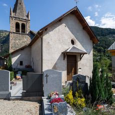
Église Saint-Pierre de La Garde-en-Oisans
11 km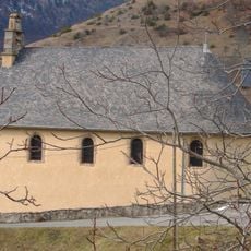
Eglise Saint-Pierre
10.5 km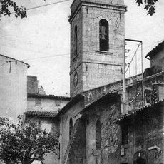
Eglise Saint-Pierre (La Valette)
10 km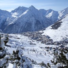
Les 2 Alpes Réservation | Tourisme
12.7 km
Croix Jean Pinelli 2635 m
7.7 km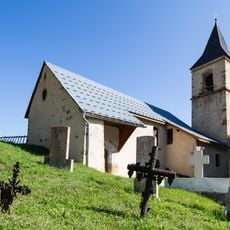
Église Notre-Dame-de-l'Assomption de Villard-Notre-Dame
7 km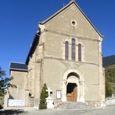
Église Saint-Christophe de Lavaldens
6.4 km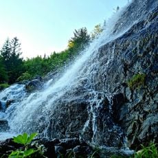
Via Ferrata
9.7 km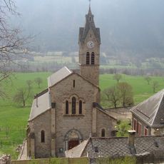
Église paroissiale de Valbonnais
10.8 km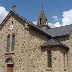
Église Saints-Jacques-et-Philippe des Engelas
10.8 km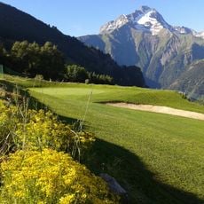
Golf des Deux Alpes
12.7 km
Église Notre-Dame-de-la-Salette de la Pouthuire
5.9 km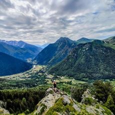
Via Ferrata du Grand Bec
8.7 km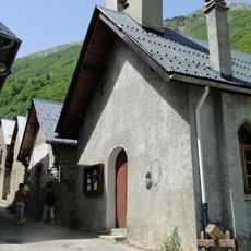
Chapelle Notre-Dame-et-Sainte-Madeleine du Rivier
5.2 km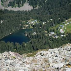
Chalets de Poursollet
9.2 kmReviews
Visited this place? Tap the stars to rate it and share your experience / photos with the community! Try now! You can cancel it anytime.
Discover hidden gems everywhere you go!
From secret cafés to breathtaking viewpoints, skip the crowded tourist spots and find places that match your style. Our app makes it easy with voice search, smart filtering, route optimization, and insider tips from travelers worldwide. Download now for the complete mobile experience.

A unique approach to discovering new places❞
— Le Figaro
All the places worth exploring❞
— France Info
A tailor-made excursion in just a few clicks❞
— 20 Minutes