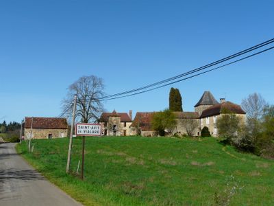
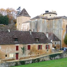
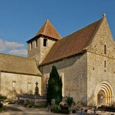
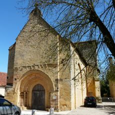
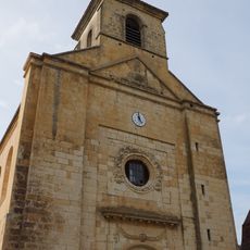
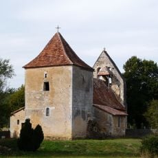
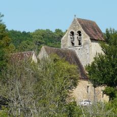
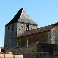
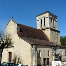
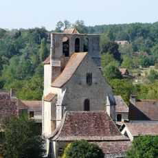
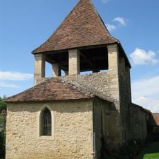
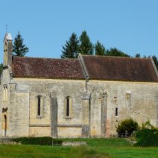
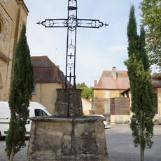
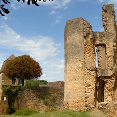
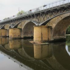
Saint-Avit-de-Vialard, commune in Dordogne, France
Location: canton of Le Bugue
Location: Dordogne
Location: arrondissement of Sarlat-la-Canéda
Elevation above the sea: 202 m
Shares border with: Journiac, Le Bugue, Paunat, Val de Louyre et Caudeau
Address: Le Bourg, 24260 Saint-Avit-de-Vialard 24260
Phone: +33553074340
Email: commune-st-avit-de-vialard@orange.fr
Website: https://saint-avit-de-vialard.fr
GPS coordinates: 44.94306,0.86861
Latest update: June 5, 2025 20:18
La Ferrassie
5.6 km
La Ferrassie 1
5.6 km
Bournat park
6.1 km
Aquarium du Périgord noir
5.9 km
Château de la Pommerie
4.3 km
Bara-Bahau Cave
4.7 km
Jacquou Parc
5.4 km
Église Saint-Martial, Paunat
4.3 km
Église Saint-Sulpice du Bugue
5.2 km
Jardin Musée de Limeuil
6.5 km
Église Saint-Martin de Limeuil
6.3 km
Labyrinthe péhistorique Mirror maze
5.9 km
Église Saint-Jean-Baptiste de Cendrieux
6.8 km
Golf de la Marterie
6.2 km
Église Saint-Pierre-ès-Liens de Sainte-Alvère
4.8 km
Église et presbytère de Mortemart
7.1 km
Big Bird
5.9 km
Le Carrousel
5.9 km
Église Saint-Denys de Savignac-de-Miremont
7 km
Église Saint-Avit de Saint-Avit-de-Vialard
99 m
Église Saint-Saturnin de Journiac
2.8 km
Église Saint-Martin de Mauzens
6.9 km
Église Sainte-Catherine de Limeuil
6.5 km
Le Bugue Bridge
5.4 km
Église Sainte-Anne de Pezuls
5.8 km
Croix, place de la Liberté à Sainte-Alvère
4.8 km
Tour de Saint-Alvere
4.7 km
Le Bugue Footbridge
5.4 kmVisited this place? Tap the stars to rate it and share your experience / photos with the community! Try now! You can cancel it anytime.
Discover hidden gems everywhere you go!
From secret cafés to breathtaking viewpoints, skip the crowded tourist spots and find places that match your style. Our app makes it easy with voice search, smart filtering, route optimization, and insider tips from travelers worldwide. Download now for the complete mobile experience.
A unique approach to discovering new places❞
— Le Figaro
All the places worth exploring❞
— France Info
A tailor-made excursion in just a few clicks❞
— 20 Minutes