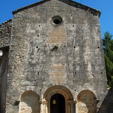
Saint-Martin-de-Londres, Medieval commune in Hérault, France
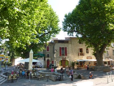
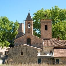
Saint-Martin-de-Londres is a small commune in the Hérault region of southern France, situated in a valley landscape. The settlement is characterized by its historic core with plane trees and traditional stone houses typical of the area.
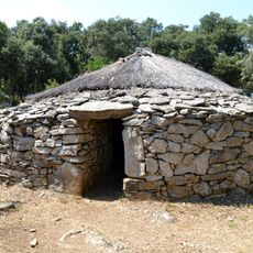
The settlement traces its origins to Roman times when the area was first inhabited. Over the centuries it evolved into a small agricultural community that retained its medieval structure through to the present day.
The central square serves as a gathering place where locals and visitors naturally congregate throughout the year. The community maintains its regional identity through regular markets and traditional crafts that continue to shape daily life.
The commune is located about 30 kilometers northwest of Montpellier and is easily accessible by car. Visitors can find a town hall and basic facilities typical of a French rural community.
The area experiences extreme temperature swings between seasons, reflecting the southern climate with continental influences. These variations have shaped the vegetation and character of the landscape over generations.
Location: Hérault
Location: arrondissement of Lodève
Location: Grand Pic Saint-Loup community of communes
Elevation above the sea: 269 m
Shares border with: Argelliers, Brissac, Causse-de-la-Selle, Mas-de-Londres, Notre-Dame-de-Londres, Viols-en-Laval, Viols-le-Fort
Address: 9 place de la Mairie, 34380 Saint-Martin-de-Londres
Phone: +33467550010
Email: mairie@ville-smdl.fr
Website: https://saint-martin-de-londres.fr
GPS coordinates: 43.79083,3.73167
Latest update: December 7, 2025 20:40
Pic Saint-Loup
6.5 km
Hortus
8.3 km
Pont de Saint-Etienne d'Issensac
6.4 km
Prehistoric village of Cambous
3.9 km
Château de la Roquette
7 km
Château de Cambous
4.1 km
Roc Blanc
11.5 km
Chapelle Saint-Étienne d'Issensac
6.3 km
Baulx Castle
10 km
Église Saint-Martin de Saint-Martin-de-Londres
77 m
Église Saint-Nazaire et Saint-Celse de Brissac
10 km
Dolmen de la Draille
4.5 km
Lamalou dolmen
6.6 km
Église de la Nativité-de-Saint-Jean-Baptiste de Saint-Jean-de-Buèges
10.1 km
Église de Saint-André-de-Buèges
8.4 km
Dolmens of Cazarils
4.4 km
Église Notre-Dame de Pégairolles-de-Buèges
11.7 km
Ô Vent d'Ange
591 m
Église Saint-Gérard de Mas-de-Londres
1.9 km
Église de l'Invention-de-Saint-Étienne de Viols-le-Fort
5.8 km
Puechabon
11.2 km
Grotte de l'Hortus
8.3 km
Chapelle Saint-Joseph de Pic Saint-Loup
6.6 km
Église de l'Invention-de-Saint-Étienne de Cazevieille
5.1 km
Boussargues (Argelliers, Hérault): Un habitat ceinturé chalcolithique: Les fouilles du secteur ouest. Albert Colomer, Jacques Coularou, and Xavier Gutherz. Documents d'Archéologie Française No. 24. Editions de la Maison des Sciences de L'Homme, P
7.6 km
Pont de Vareilles
8.2 km
Grotte du Suquet
7.7 km
Grand Juyan de Roubiac
6 kmVisited this place? Tap the stars to rate it and share your experience / photos with the community! Try now! You can cancel it anytime.
Discover hidden gems everywhere you go!
From secret cafés to breathtaking viewpoints, skip the crowded tourist spots and find places that match your style. Our app makes it easy with voice search, smart filtering, route optimization, and insider tips from travelers worldwide. Download now for the complete mobile experience.
A unique approach to discovering new places❞
— Le Figaro
All the places worth exploring❞
— France Info
A tailor-made excursion in just a few clicks❞
— 20 Minutes