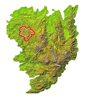
Plateau de Millevaches, Natural plateau in Limousin region, France
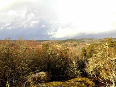
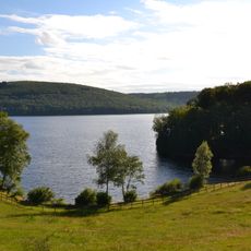
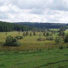
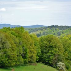
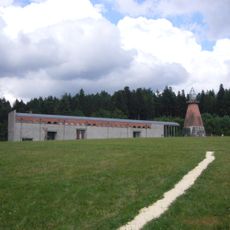
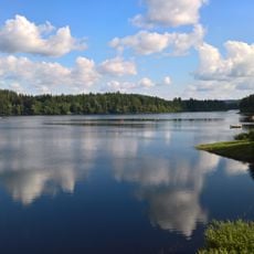
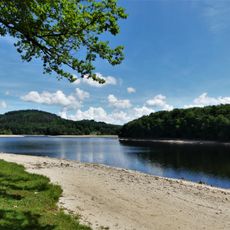
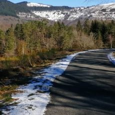
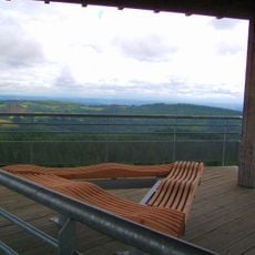
Plateau de Millevaches is a highland in the Limousin region of France, stretching across parts of three departments with dense forests, moorlands, and many streams. The terrain sits between 600 and 1,000 meters in elevation and forms one of the largest continuous natural areas in the Massif Central.
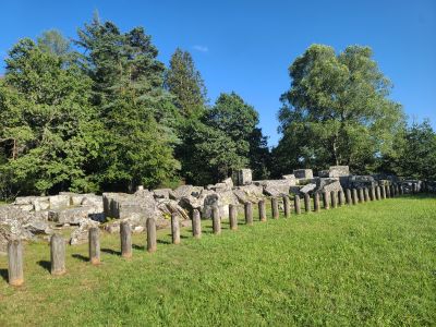
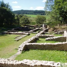
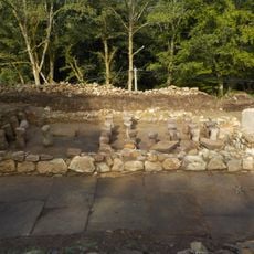
The landscape formed during the Ice Age through glacial movements that shaped the current relief and created hollows where bogs later developed. In the Middle Ages, monks and farmers cleared large forest areas for pasture, which remained in use until the 20th century.
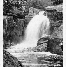
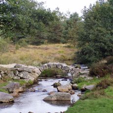
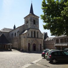
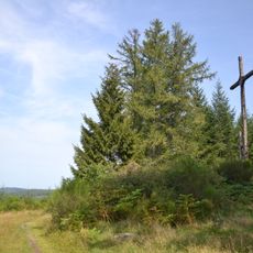
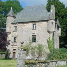
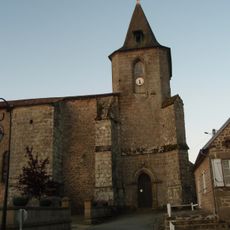
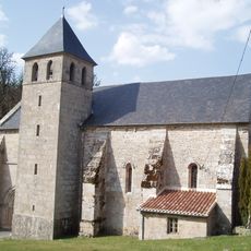
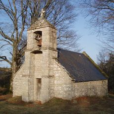
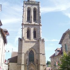
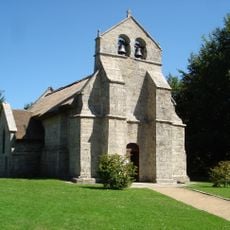
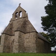
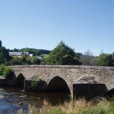
The name comes from the many water springs scattered across the highlands, which have shaped life in small villages for centuries. Today, hikers cross the moorlands and forests while old stone bridges and wayside crosses recall the rural past.
The regional nature park has marked walking trails that run through forests and across open areas, with access points from several surrounding towns. Because of the wet ground and many bogs, sturdy footwear is recommended, especially in spring and autumn.
Despite the name, which would literally mean a thousand cows, Millevaches actually refers to the many water springs that rise here and feed small ponds. The highlands are considered one of the rainiest areas in France and form the source region of several rivers.
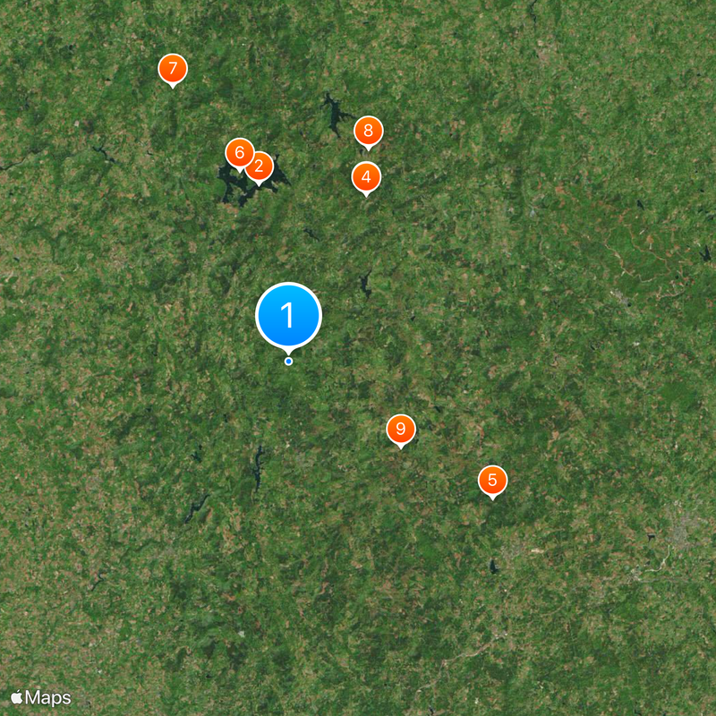
The community of curious travelers
AroundUs brings together thousands of curated places, local tips, and hidden gems, enriched daily by 60,000 contributors worldwide.