Enable Location

We need your location to show you interesting places around you

Discover nearby places

Find interesting locations and hidden gems around you

Precise directions

Get accurate directions and distances to places

Your location is never shared with other users. It's only used when you tap the location button.

Trièves

Log in to your account

Start exploring — it's free

Trusted by 64,901 travelers worldwide

Continue with Google
Continue with Apple
or

We will send you a code to connect

By continuing, you accept our Terms and Conditions and our Privacy Policy

Check your inbox

We've sent a pincode in your inbox. Please enter the code below.

Trièves
Discussion Reviews 2 Photos 1 Collections
16.8k Popularity

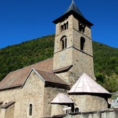
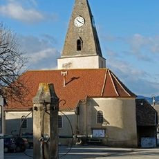
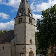
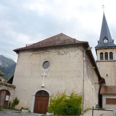
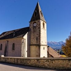
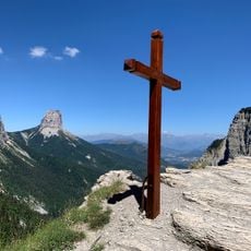
Trièves, Natural region in southeastern Isère, France.

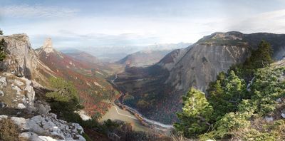
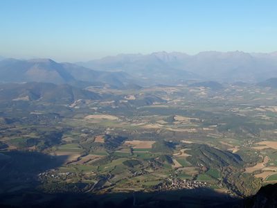
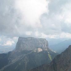
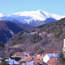
The Trièves is a natural region in southeastern Isère that spreads between the Vercors cliffs to the west and the Drac river to the east. Located at roughly 750 meters elevation, it comprises about 29 communes scattered across rolling valleys and plains.

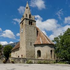
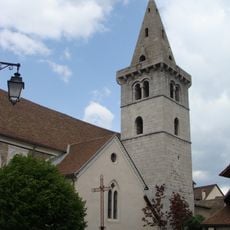
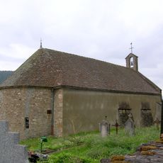
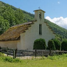
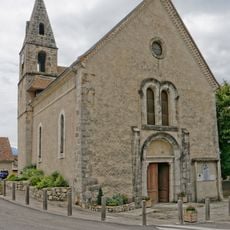
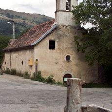
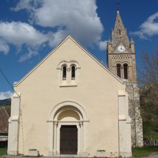
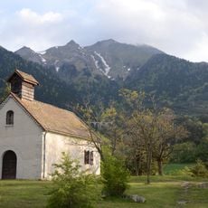
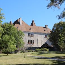
The territory functioned as a viscounty until the French Revolution, originally organized as five parishes that later transformed into the administrative communes visible today. This restructuring reshaped how the region was governed and organized.

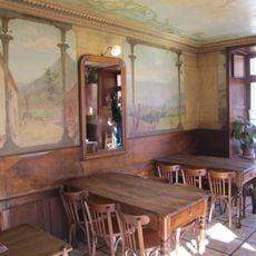
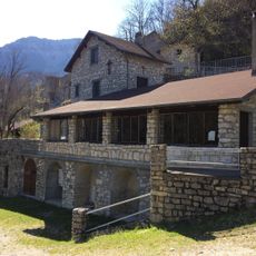
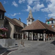
The area maintains a deep connection to farming and the production of local cheese and honey, which shape daily life and local commerce. This heritage is visible in the farms and markets scattered throughout the region, where residents and visitors encounter these agricultural traditions firsthand.

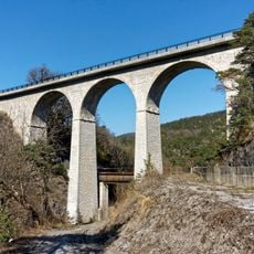
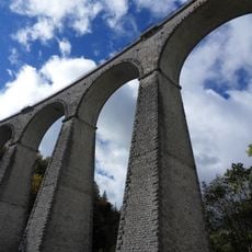
The region is well connected by car via the RD 1075 road and by rail through the Grenoble-Veynes line, making day trips to nearby destinations straightforward. The 29 communes are linked by local roads and offer accommodation and shopping options in larger towns.

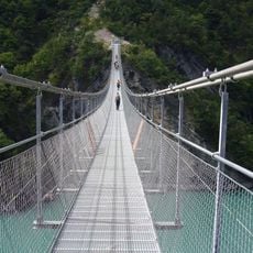
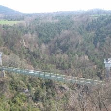
The Drac river is dammed by several large hydroelectric facilities that generate substantial electricity for the region. These dams are notable landscape features and significantly influence water management throughout the valley.

The community of curious travelers

AroundUs brings together thousands of curated places, local tips, and hidden gems, enriched daily by 60,000 contributors worldwide.

Start exploring
Location
Elevation above the sea
750 m
Part of
Sillon alpin
Address
Trièves, 26390 Hauterives, France
GPS coordinates
44.80000,5.66667
Latest update
March 5, 2026 20:37
Unknown French destinations (and underrated)

France has entire territories that remain outside the usual tourist circuits. This collection brings together natural regions where life follows its own rhythm, away from the bustle of mainstream destinations. Here you find forested mountains like Morvan and the Vosges, volcanic plateaus in Cantal...

Reviews
Share your experience

No review yet

Discussions
Start a discussion...

No discussion yet

« Trièves - Natural region in southeastern Isère, France » is provided by Around Us (aroundus.com). Images and texts are derived from Wikimedia project under a Creative Commons license. You are allowed to copy, distribute, and modify copies of this page, under the conditions set by the license, as long as this note is clearly visible.

Discover hidden gems everywhere you go!

From secret cafés to breathtaking viewpoints, skip the crowded tourist spots and find places that match your style. Our app makes it easy with voice search, smart filtering, route optimization, and insider tips from travelers worldwide. Download now for the complete mobile experience.

Around Us App Screenshot

A unique approach to discovering new places

Le Figaro

All the places worth exploring

France Info

A tailor-made excursion in just a few clicks

20 Minutes

Around Us
Travel Guide & Maps
Download

Send to your phone

QR Code
1

Open the camera app on your mobile.

2

Point at the QR code with your camera. A notification will appear.

3

Tap the notification to open the link.