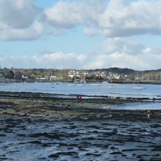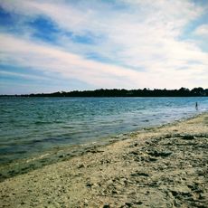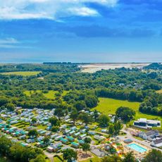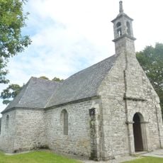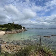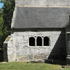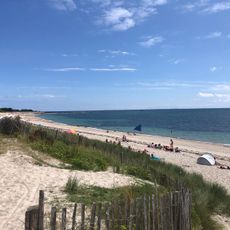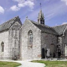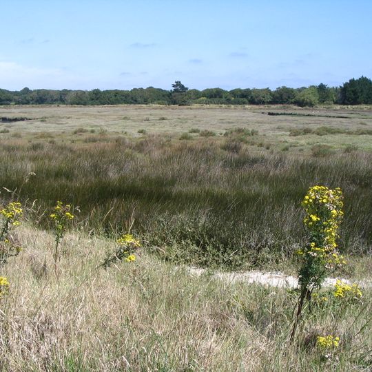
Mousterlin, Natura 2000 marsh and dune site in Fouesnant, Finistère, France
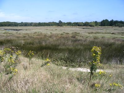
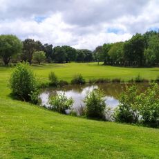
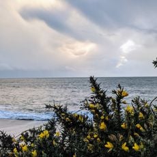
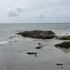
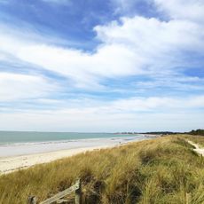
Mousterlin is a protected coastal area in Fouesnant featuring freshwater ponds, polder meadows, sand dunes, and varied wetland habitats across 479 hectares. A main basin of around 6 hectares is surrounded by natural grasslands and tidal zones.
The area underwent drainage and reclamation for farming between 1926 and 1946, a practice that stopped in 1960. In 1982, a coastal conservation organization took ownership of major portions to restore natural habitats.
The name Mousterlin comes from a hamlet of Fouesnant; the marsh lies between the pointe de Mousterlin and the pointe de Beg Meil. In the northern polder, cattle and Shetland ponies graze the meadows, while the central brackish marsh shows a salinity gradient falling from east to west. Local names persist: orchids here are called "fleurs de coucou".
The marsh lies between the pointe de Mousterlin and the pointe de Beg Meil, with the Kerler beach dune cordon separating the saltern meadows of the mer Blanche from the Atlantic. The northern part is grazed by cattle and Shetland ponies, so keep to paths and keep dogs on a lead near livestock. The central brackish marsh shows a salinity gradient falling from east to west.
The pine wood in the centre of the polder stands on the former island of Pal Meur, swallowed by the marsh. In the western part, the salinity gradient falls from east to west, so maritime club-rush and reed beds give way to freshwater marsh iris and hairy willowherb in the east. The royal fern, a protected species, grows on the site.
The community of curious travelers
AroundUs brings together thousands of curated places, local tips, and hidden gems, enriched daily by 93,478 contributors worldwide.