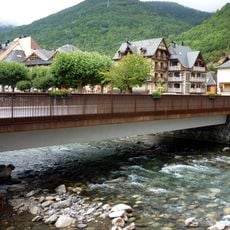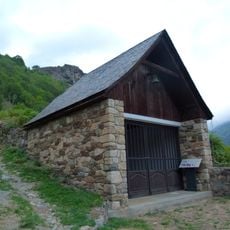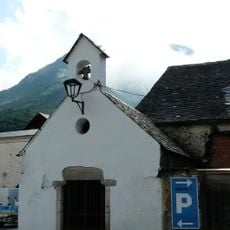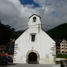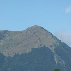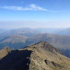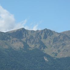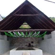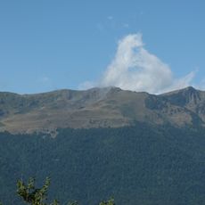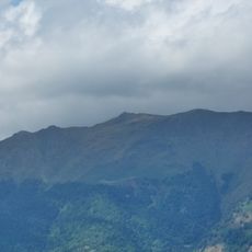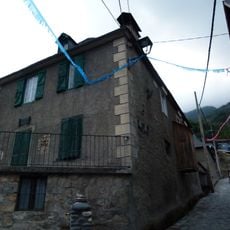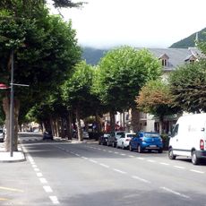
Col du Portillon, Mountain pass between Bossòst, Spain and Saint-Mamet, France.
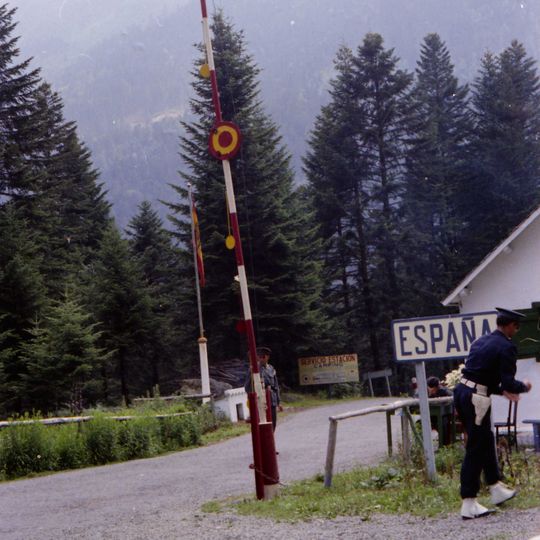
Col du Portillon is a road pass at 1,293 m in the Pyrenees on the French-Spanish border, linking Bagnères-de-Luchon with Bossòst in the Val d'Aran. The road runs through forest, and at the summit a white sign with "ESPAÑA" on a blue strip marks the border, beside a raised red-and-white barrier pole and a red-and-yellow flag.
The Col du Portillon was first used by the Tour de France in 1957 and has featured 20 times, most recently in 2018, when Adam Yates led over the summit. On 6 January 2021 it was closed to traffic by prefectoral order under border controls, and on 19 January 2021 Génération identitaire held a "Mission Pyrénées" there.
The pass carries two names: the official Catalan Eth Portilhon, meaning "the little pass", and the French col du Portillon, a francised form to which "col" was added, making it tautological. The vallon de Burbe on the French side, from which the pass opens, means "low head" or "low mountain".
The pass is reached by road from Bossòst, 8.6 km with 583 m of climbing at 6.8%, or from Bagnères-de-Luchon, 10.2 km with 663 m at 6.5%. The French side is the longer of the two, and its final 7.9 km average 8.4%, reaching 14%. The summit lies at 1,293 m on the border, marked by the ESPAÑA sign and a raised barrier pole.
The pass lies at 1,293 m in forest between the Luchonnais and the Val d'Aran. Its official name is the Occitan Eth Portilhon, "the little pass", where port means a col in the Pyrenees; the French form col du Portillon adds col to a word already meaning pass. The valley below the pass on the French side is called Burbe.
The community of curious travelers
AroundUs brings together thousands of curated places, local tips, and hidden gems, enriched daily by 92,684 contributors worldwide.