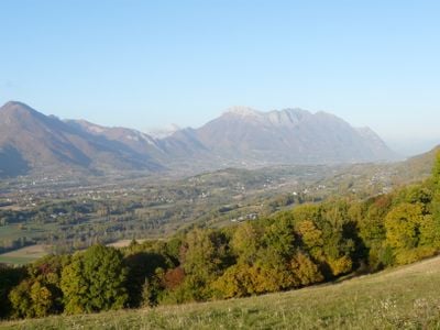
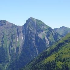
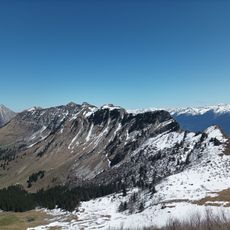
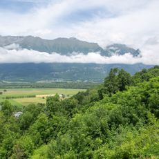
Combe de Savoie, U-shaped valley in Savoie, France
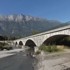
Combe de Savoie is a U-shaped valley lying between the Bauges Mountains and the Lauzière massif, carved by the Isère River flowing through its floor. The valley stretches roughly 40 kilometers in length at an elevation of approximately 300 meters.
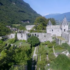
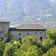
The valley served as a crucial passage in ancient times, as evidenced by a Roman milestone from 285 CE discovered near Chignin. This artifact shows that a major road once connected Vienne to Milan through this corridor.
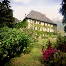
Vineyards cover the sunny slopes of the valley, producing wines under protected appellations using local grape varieties grown here for generations. Walking through these terraced gardens, you see how wine production shapes the daily rhythm and identity of the communities below.
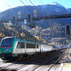
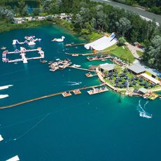
The valley offers many cycling routes at different difficulty levels connecting multiple towns including Montmélian and Albertville along well-marked trails. You can explore the area on two wheels while discovering villages and landscape views from the paths.
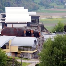
Local plant nurseries produce millions of vine plants each year, supplying grape growers across Europe with seedlings from this region. This specialized horticultural activity remains quietly important to the valley's economy and reputation in the wine industry.
The community of curious travelers
AroundUs brings together thousands of curated places, local tips, and hidden gems, enriched daily by 60,000 contributors worldwide.