Pointe des Arces, Mountain summit in the Bauges, Grésy-sur-Isère, France
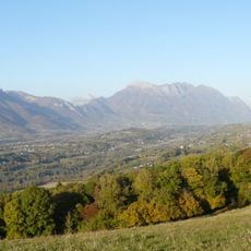
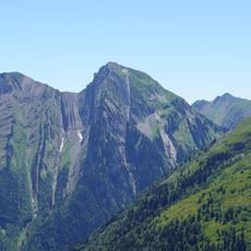
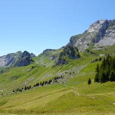
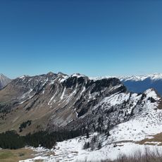
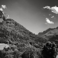
Pointe des Arces is a mountain summit in the Bauges range standing at 2076 meters with steep sides and rocky outcrops. The peak rises sharply from the surrounding terrain and displays the geological character of this Alpine region.
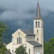
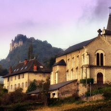
Pointe des Arces reaches 2,076 metres, about 277 metres above the surrounding terrain, on a ridge 2.2 km south of Le Pécloz (2,197 m). The summit lies 14.6 km north-east of Albertville, above École and Grésy-sur-Isère, in a landscape of steep mountain slopes and cultivated farmland.
The name Arces refers to the maple trees on these slopes; the peak rises 277 metres above the surrounding terrain and lies 2.2 km south of Le Pécloz. The land around it is farmed, with roughly 70 inhabitants per square kilometre in the valleys below.
Marked trails from the nearby villages of École and Grésy-sur-Isère lead to the summit, with the climb taking roughly four hours during summer. Visitors should prepare for altitude changes and wear sturdy footwear.
Pointe des Arces rises 277 metres above the surrounding terrain, and its summit lies 2.2 km north of Le Pécloz, the higher peak at 2,197 metres. The town of Albertville sits 14.6 km to the southwest, and the land around the mountain is farmed.
The community of curious travelers
AroundUs brings together thousands of curated places, local tips, and hidden gems, enriched daily by 93,020 contributors worldwide.