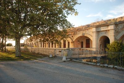
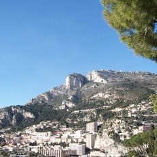
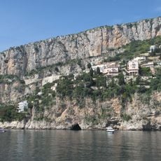
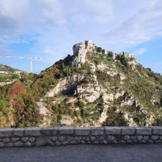
Fort Revère, Military fortification in Èze, France
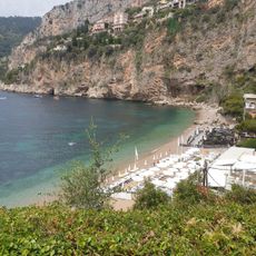
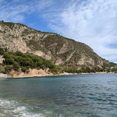
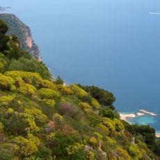
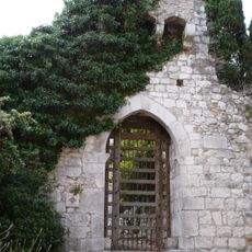
Fort Revère is a military installation perched high above Èze, strategically positioned to watch over the coastline. The structure contains underground passages, gun emplacements, and casemates that together formed a sophisticated defensive system.
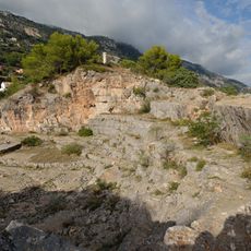
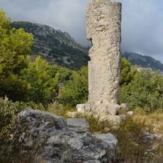
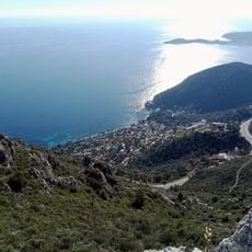
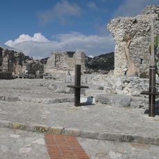
The fort was built in 1882 when France modernized its coastal defense system following its defeat by Prussia. It was part of a larger defensive line designed by an influential French military engineer.
The fort was part of an ambitious defense system meant to protect France after military setbacks. The layout shows how engineers of that era adapted construction methods to new weapon technologies.
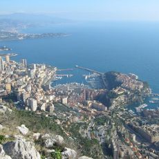
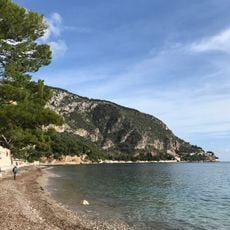
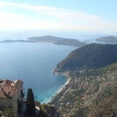
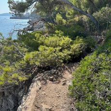
The site sits at a high elevation with steep access routes, so bring sturdy footwear and allow extra time for the climb. On warm days, pack water and sun protection since the grounds offer limited shade along the viewing areas.
The fort still preserves barracks and ammunition storage areas that show how soldiers lived and worked there. These rooms let visitors understand the daily life of the garrison, which often gets overlooked.
The community of curious travelers
AroundUs brings together thousands of curated places, local tips, and hidden gems, enriched daily by 60,000 contributors worldwide.