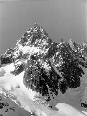
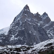
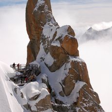
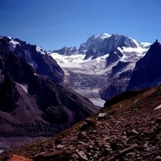
Dent du Requin, Alpine summit in Mont Blanc massif, France
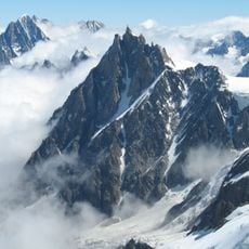
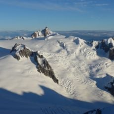
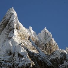
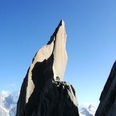
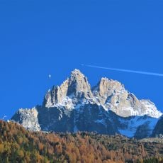
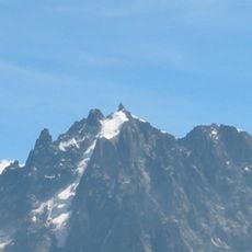
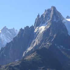
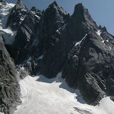
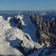
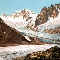
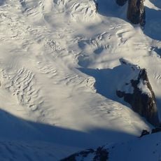
Dent du Requin is a mountain summit at 3422 meters elevation in the Mont Blanc massif, identifiable by its distinctive pointed peak that resembles a shark's tooth. The peak is composed of granite and features several established climbing routes ranging from moderate to difficult grades.
Four climbers made the first recorded ascent of the peak on July 25, 1893, establishing this granite summit in mountaineering records. This early climb opened the way for the development of multiple routes that climbers still use today.
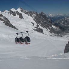
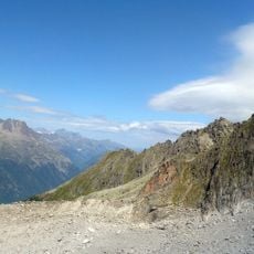
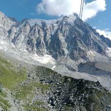
The summit attracts climbers who value technical challenges on solid rock, with different routes offering varying levels of difficulty for experienced mountaineers. Visitors can approach the mountain from established routes that connect to the Requin Hut throughout the climbing season.
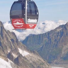
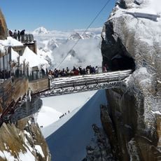
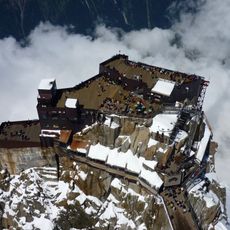
Climbing this peak requires alpine experience and access through the Requin Hut at 2516 meters, which operates during specific seasons. Visitors must be prepared for variable conditions and plan around weather windows in this high mountain environment.
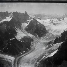
The north and northwest sides of the peak contain demanding routes that push experienced climbers to their limits, while the southwest face offers a more moderate technical line. This variety of routes at different difficulty levels makes the summit a teaching ground for mountaineers at various skill stages.
The community of curious travelers
AroundUs brings together thousands of curated places, local tips, and hidden gems, enriched daily by 60,000 contributors worldwide.